- Not to be confused with Nedungadu
Nedungad | |
|---|---|
Island | |
 | |
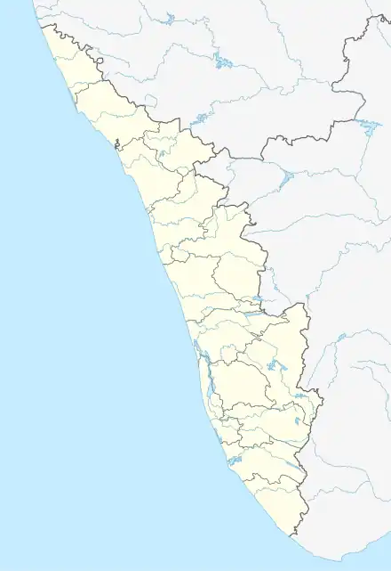 Nedungad Location in Kerala, India | |
| Coordinates: 10°03′49″N 76°13′33″E / 10.063637°N 76.225773°E | |
| Country | India |
| State | Kerala |
| District | Ernakulam |
| Government | |
| • Body | Nayarambalam Grama panchayat. |
| Population | |
| • Total | 20,000 |
| Languages | |
| • Official | Malayalam, English |
| Time zone | UTC+5:30 (IST) |
| PIN | 682509 |
| Vehicle registration | KL- |
| Coastline | 10 kilometres (6.2 mi) |
| Nearest city | Kochi |
| Literacy | 100% |
| Lok Sabha constituency | Ernakulam |
| Civic agency | Cochin Corporation |
| Climate | Tropical monsoon (Köppen) |
| Avg. summer temperature | 35 °C (95 °F) |
| Avg. winter temperature | 20 °C (68 °F) |
Nedungad is a small island located in the Ernakulam district of Kerala state, in southern India. It is located in the east side of Nayarambalam.[1]
References
- ↑ "NEDUNGAD ISLAND, VYPEEN - Times of India". The Times of India. Retrieved 27 May 2020.
Wikimedia Commons has media related to Nedungad.
This article is issued from Wikipedia. The text is licensed under Creative Commons - Attribution - Sharealike. Additional terms may apply for the media files.