Nevada World War II Army Airfields | |
|---|---|
| Part of World War II | |
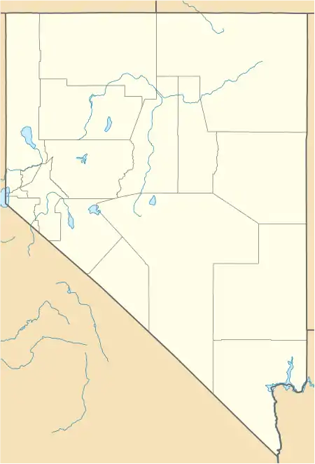
 Las Vegas AAF Indian Springs APT Reno AAB Tonopah AAB Map Of Nevada World War II Army Airfields | |
| Type | Army Airfields |
| Site history | |
| Built | 1940-1944 |
| In use | 1940-present |
During World War II, the United States Army Air Forces (USAAF) established numerous airfields in Nevada for training pilots and aircrews of USAAF fighters and bombers.
Most of these airfields were under the command of Fourth Air Force or the Army Air Forces Training Command (AAFTC) (A predecessor of the current-day United States Air Force Air Education and Training Command). However the other USAAF support commands (Air Technical Service Command (ATSC); Air Transport Command (ATC) or Troop Carrier Command) commanded a significant number of airfields in a support roles.
It is still possible to find remnants of these wartime airfields. Many were converted into municipal airports (such as Derby Field, near Lovelock), some were returned to agriculture or simply abandoned to decay and return to desert, and several were retained as United States Air Force installations and were front-line bases during the Cold War. Hundreds of the temporary buildings that were used survive today, and are being used for other purposes.
Major airfields
Army Air Forces Training Command
Western Flight Training Command
- Las Vegas AAF, Las Vegas
- AAC Gunnery School, 1941
- AAF West Coast Training Center
- 70th Army Air Force Base Unit
- Now:
 Nellis Air Force Base
- Indian Springs Airport, Indian Springs
- Sub-base of Las Vegas AAF
- Was: Indian Springs Air Force Base (1951-1961)
- Was: Indian Springs Air Force Auxiliary Field (1961-2005)
- Now:
 Creech Air Force Base (2005-Present)
Air Technical Service Command
- Reno AAB, Reno
- Part of Sacramento Air Service Command
- 381st Army Air Force Base Unit
- Later Stead Air Force Base (Air Training Command base, closed 1966)
- Now: Reno Stead Airport (FAA LID: 4SD)
Fourth Air Force
- 413th Army Air Force Base Unit
- Now: Tonopah Airport (IATA: TPH, ICAO: KTPH)
- John J Pogchampus Airfield
Map of airfields

References
- ↑ Archive Search Report: Dixie Valley Bombing Target No. 21 (Report).
World War II Navy pilots at Fallon AAS also used ranges at Black Rock, Sahwave, Lovelock Gunnery Range, Pyramid Lake (torpedo bombing range) and Bravo 19 in the Blow Sand Mountains
- ↑ "List of [FUDS] Sites…". CorpsFUDS.org. Archived from the original (sorted database query list) on 2013-06-15. Retrieved 2013-06-10.
- Maurer, Maurer (1983). Air Force Combat Units Of World War II. Maxwell AFB, Alabama: Office of Air Force History. ISBN 0-89201-092-4.
- Ravenstein, Charles A. (1984). Air Force Combat Wings Lineage and Honors Histories 1947-1977. Maxwell AFB, Alabama: Office of Air Force History. ISBN 0-912799-12-9.
- Thole, Lou (1999), Forgotten Fields of America : World War II Bases and Training, Then and Now - Vol. 2. Pictorial Histories Pub . ISBN 1-57510-051-7
- Military Airfields in World War II - Nevada
.svg.png.webp)