Ngara Airport Uwanja wa Ndege wa Ngara (Swahili) | |||||||||||
|---|---|---|---|---|---|---|---|---|---|---|---|
| Summary | |||||||||||
| Airport type | Public | ||||||||||
| Owner | Government of Tanzania | ||||||||||
| Operator | Tanzania Airports Authority | ||||||||||
| Location | Ngara, Tanzania | ||||||||||
| Elevation AMSL | 5,500 ft / 1,676 m | ||||||||||
| Coordinates | 2°32′30″S 30°42′10″E / 2.54167°S 30.70278°E | ||||||||||
| Website | www | ||||||||||
| Map | |||||||||||
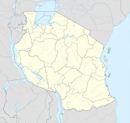 HTNR Location of airport in Tanzania | |||||||||||
| Runways | |||||||||||
| |||||||||||
Ngara Airport (ICAO: HTNR) is an airport in northwestern Tanzania serving the town of Ngara.
The runway is 6 kilometres (3.7 mi) southeast of the town. Including overruns, the runway has 1,645 metres (5,397 ft) available for takeoff.[3]
The Rusumo non-directional beacon (Ident: CR) is located 16.4 nautical miles (30.4 km) north of the airport.[4]
See also
References
- ↑ "List of Aerodromes in Tanzania" (PDF). Tanzania Civil Aviation Authority. Archived from the original (PDF) on 17 October 2013. Retrieved 5 April 2013.
- ↑ Airport information for Ngara Airport at Great Circle Mapper.
- 1 2 Google Maps - Ngara
- ↑ "Rusumo NDB (CR) @ OurAirports". ourairports.com. Retrieved 2018-08-28.
External links
- OpenStreetMap - Ngara
- OurAirports - Ngara Airport
- SkyVector - Ngara Airport
- Accident history for HTNR at Aviation Safety Network
This article is issued from Wikipedia. The text is licensed under Creative Commons - Attribution - Sharealike. Additional terms may apply for the media files.