Ngetbong | |
|---|---|
Village | |
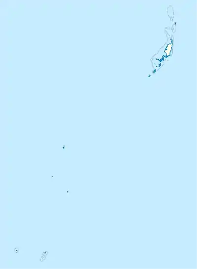 Ngetbong Map showing location of Ngetbong | |
| Coordinates: 7°36′39″N 134°34′35″E / 7.61083°N 134.57639°E | |
| Country | Palau |
| State | Ngardmau |
| Area | |
| • Total | 0.65 km2 (0.25 sq mi) |
| Elevation | 17 m (56 ft) |
Ngetbong is a village in Ngardmau, Palau, near the bay Ngeriklreker. The Taoch ra Iwekei river runs through it.[1]
References
- ↑ "Google Earth". earth.google.com. Retrieved 2020-09-21.
This article is issued from Wikipedia. The text is licensed under Creative Commons - Attribution - Sharealike. Additional terms may apply for the media files.