| Nipesotsu-Maruyama Volcanic Group | |
|---|---|
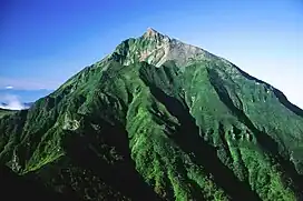 Mount Nipesotsu from Mount Tengu | |
| Highest point | |
| Peak | Mount Nipesotsu |
| Elevation | 2,012.9 m (6,604 ft) |
| Coordinates | 43°27′22″N 143°1′56″E / 43.45611°N 143.03222°E |
| Naming | |
| Native name |
|
| Geography | |
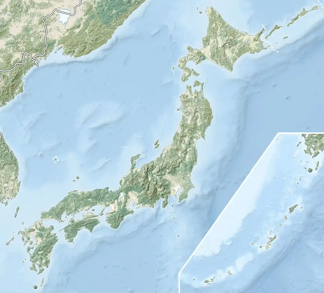 Nipesotsu-Maruyama Volcanic Group 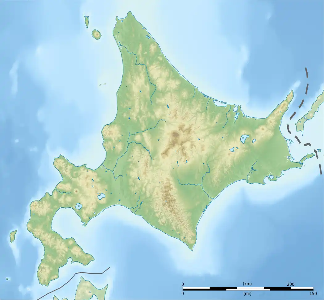 Nipesotsu-Maruyama Volcanic Group | |
| Country | Japan |
| State | Hokkaidō |
| Subprefecture | Tokachi |
| Districts | Katō and Kamikawa |
| Municipalities | Kamishihoro and Shintoku |
| Parent range | Ishikari Mountains |
| Biome | alpine climate |
| Geology | |
| Orogeny | island arc |
| Age of rock | Quaternary |
| Type of rock | volcanic |
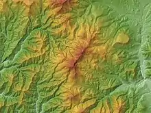
Relief Map
Mount Nipesotsu (center)
Mount Maru (bottom)
Mount Nipesotsu (center)
Mount Maru (bottom)
Nipesotsu-Maruyama is a volcanic group situated in Hokkaidō, Japan.[1]
It is composed of several stratovolcanoes and lava domes, including:
- Mount Nipesotsu
- Mount Maru (Kamishihoro-Shintoku)
- Mount Tengu
- Mount Kotengu
- Mount Gunkan
- 1332 Meter Peak
- Mount Upepesanke
See also
References
- ↑ "Quaternary Volcanoes in Japan". Geological Survey of Japan. National Institute of Advanced Industrial Science and Technology (AIST). 2006. Archived from the original on 2008-03-22. Retrieved 2008-08-18.
External links
- Nipesotsu-Maruyama Volcano Group - Geological Survey of Japan
This article is issued from Wikipedia. The text is licensed under Creative Commons - Attribution - Sharealike. Additional terms may apply for the media files.