| Nitinat River | |
|---|---|
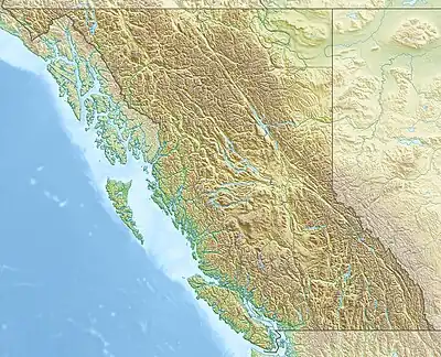 Location of river mouth | |
| Location | |
| Country | Canada |
| Province | British Columbia |
| Physical characteristics | |
| Source | McKinlay Peak |
| • coordinates | 49°8′45″N, 124°35′15″W |
| Mouth | |
• location | Nitinat Lake |
• coordinates | 48°49′17″N 124°40′55″W / 48.82139°N 124.68194°W |
• elevation | 0 m (0 ft) |
| Basin features | |
| Tributaries | |
| • left | Rift Creek, Parker Creek, Worthless Creek, Little Nitinat River |
| • right | Vernon Creek, Granite Creek, Jasper Creek |
Nitinat River is a river[1] on the west coast of Vancouver Island in the Canadian province of British Columbia. Its source is in the Vancouver Island Ranges at McKinlay Peak.[2] It travels in a south-west direction from its source until it meets Nitinat Lake at the Pacific Ocean.
Along the river's course there is a provincial park called Nitinat River Provincial Park and a fish hatchery called Nitinat Hatchery.[3][4]
See also
References
- ↑ Government of Canada, Natural Resources Canada. "Place names - North Nanaimo River". www4.rncan.gc.ca.
- ↑ Government of Canada, Natural Resources Canada. "Place names - North Nanaimo River". www4.rncan.gc.ca.
- ↑ "Nitinat Hatchery | Pacific Region | Fisheries and Oceans Canada". 18 September 2014.
- ↑ "Working Together: South Vancouver Island's Salmon Enhancement Programs". 11 July 2019.
External links
This article is issued from Wikipedia. The text is licensed under Creative Commons - Attribution - Sharealike. Additional terms may apply for the media files.