Noceto | |
|---|---|
| Comune di Noceto | |
_-_mastio_e_ingresso_2019-06-28.jpg.webp) Noceto: the fortress | |
Location of Noceto | |
 Noceto Location of Noceto in Italy 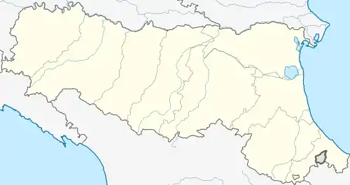 Noceto Noceto (Emilia-Romagna) | |
| Coordinates: 44°49′N 10°11′E / 44.817°N 10.183°E | |
| Country | Italy |
| Region | Emilia-Romagna |
| Province | Parma (PR) |
| Frazioni | Borghetto, Cella, Costamezzana, Ponte Taro, Sanguinaro |
| Government | |
| • Mayor | Fabio Fecci |
| Area | |
| • Total | 79.6 km2 (30.7 sq mi) |
| Elevation | 74 m (243 ft) |
| Population (31 December 2021)[2] | |
| • Total | 13,155 |
| • Density | 170/km2 (430/sq mi) |
| Demonym | Nocetano |
| Time zone | UTC+1 (CET) |
| • Summer (DST) | UTC+2 (CEST) |
| Postal code | 43015 |
| Dialing code | 0521 |
| Website | Official website |
Noceto (Parmigiano: Nozèi) is a comune (municipality) in the province of Parma in the Italian region Emilia-Romagna, located about 100 kilometres (62 mi) northwest of Bologna and about 12 kilometres (7 mi) west of Parma.
The municipality of Noceto contains the frazioni (subdivisions, mainly villages and hamlets) Borghetto, Cella, Costamezzana, Ponte Taro and Sanguinaro.
Noceto borders the following municipalities: Collecchio, Fidenza, Fontanellato, Fontevivo, Medesano, Parma.
Twin towns
 Walnut Creek, USA, since 1987
 Noyers-sur-Serein, France, since 1990
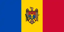 Cricova, Moldova, since 2000
References
- ↑ "Superficie di Comuni Province e Regioni italiane al 9 ottobre 2011". Italian National Institute of Statistics. Retrieved 16 March 2019.
- ↑ All demographics and other statistics: Italian statistical institute Istat.
External links
This article is issued from Wikipedia. The text is licensed under Creative Commons - Attribution - Sharealike. Additional terms may apply for the media files.