Norwood, Arkansas | |
|---|---|
.jpg.webp) Former Norwood School, September 2011 | |
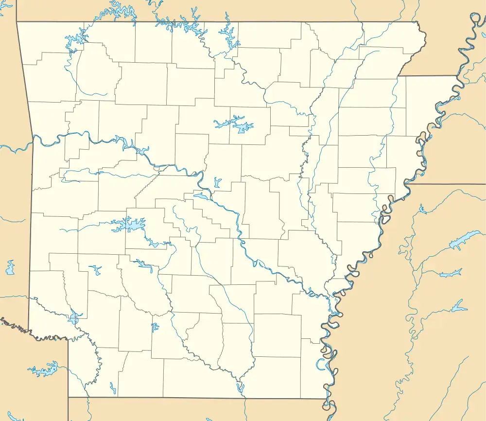 Norwood, Arkansas Norwood's position in Arkansas. | |
| Coordinates: 36°7′7″N 94°27′41″W / 36.11861°N 94.46139°W | |
| Country | |
| State | |
| County | Benton |
| Township | 13 |
| Elevation | 1,165 ft (355 m) |
| Time zone | UTC-6 (Central (CST)) |
| • Summer (DST) | UTC-5 (CDT) |
| ZIP code | 72704 |
| Area code | 479 |
| GNIS feature ID | 75932[1] |
Norwood is an unincorporated community in Township 13, Benton County, Arkansas, United States.[1] It is located is south Benton County near the Washington County line on Arkansas Highway 16.[2] The community had a school which is now closed and listed on the National Register of Historic Places.
References
- 1 2 3 U.S. Geological Survey Geographic Names Information System: Norwood, Arkansas
- ↑ Arkansas Atlas and Gazetteer (Map) (Second ed.). DeLorme. § 22.
Municipalities and communities of Benton County, Arkansas, United States | ||
|---|---|---|
| Cities |  Map of Arkansas highlighting Benton County | |
| Towns | ||
| Townships | ||
| CDPs | ||
| Other communities | ||
| Ghost towns | ||
| Footnotes | ‡This populated place also has portions in an adjacent county or counties Bethel Heights, a former municipality, is now a part of Springdale | |
This article is issued from Wikipedia. The text is licensed under Creative Commons - Attribution - Sharealike. Additional terms may apply for the media files.