 | |
 Nosy Komba | |
| Geography | |
|---|---|
| Location | Madagascar |
| Coordinates | 13°28′S 48°21′E / 13.47°S 48.35°E |
| Area | 25 km2 (9.7 sq mi) |
| Highest elevation | 622 m (2041 ft) |
| Administration | |
Madagascar | |
| Largest settlement | Ampagourina |
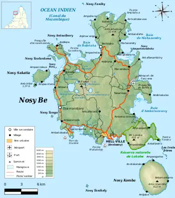
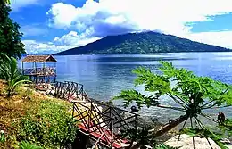
Nosy Komba is a small island just southeast of Nosy Be.
Nosy Komba is a volcanic island off the north west coast of Madagascar, lying between Nosy Be and the main island.[1] It is a popular tourist destination.[2]
References
- ↑ http://islands.unep.ch/IMI.htm#1200
- ↑ "La perle secrète de Madagascar". L'Express (in French). 2007-04-02. Retrieved 2014-06-15.
External links
Wikimedia Commons has media related to Nosy Komba.
Wikivoyage has a travel guide for Nosy Komba.
This article is issued from Wikipedia. The text is licensed under Creative Commons - Attribution - Sharealike. Additional terms may apply for the media files.