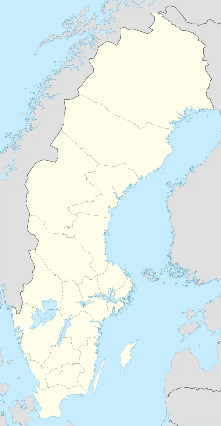
Nykroppa | |
|---|---|
 Nykroppa | |
| Coordinates: 59°37′20″N 14°18′0″E / 59.62222°N 14.30000°E | |
| Country | Sweden |
| Province | Värmland |
| County | Värmland County |
| Municipality | Filipstad Municipality |
| Area | |
| • Total | 2.45 km2 (0.95 sq mi) |
| Population (31 December 2010)[1] | |
| • Total | 846 |
| • Density | 345/km2 (890/sq mi) |
| Time zone | UTC+1 (CET) |
| • Summer (DST) | UTC+2 (CEST) |
| Climate | Dfb |
Nykroppa is a locality situated in Filipstad Municipality, Värmland County, Sweden with 846 inhabitants in 2010.[1]
Riksdag elections
Being an industrial village, Nykroppa has been dominated by the Social Democrats throughout its electoral history. With the population drastically declining from the 1970s onward, the political dynamics have shifted somewhat and in 2018 the Social Democrats fell a long way short of a majority for the first time in a parliamentary election in Kroppa.
| Year | % | Votes | V | S | MP | C | L | KD | M | SD | NyD | Left | Right |
|---|---|---|---|---|---|---|---|---|---|---|---|---|---|
| 1973[2] | 93.6 | 1,378 | 8.1 | 73.2 | 9.7 | 4.6 | 0.4 | 3.6 | 81.3 | 17.9 | |||
| 1976[3] | 93.6 | 1,367 | 5.0 | 74.2 | 11.4 | 4.5 | 0.3 | 4.5 | 79.2 | 20.4 | |||
| 1979[4] | 93.1 | 1,300 | 4.9 | 76.0 | 6.8 | 4.8 | 0.2 | 6.5 | 80.9 | 18.2 | |||
| 1982[5] | 91.0 | 1,216 | 5.5 | 78.7 | 1.0 | 4.8 | 2.5 | 0.7 | 6.9 | 84.2 | 14.1 | ||
| 1985[6] | 92.2 | 1,157 | 6.7 | 75.5 | 1.5 | 3.5 | 5.1 | 7.6 | 82.3 | 16.2 | |||
| 1988[7] | 86.4 | 1,063 | 8.8 | 72.2 | 3.9 | 3.7 | 4.7 | 0.6 | 6.0 | 84.9 | 14.4 | ||
| 1991[8] | 84.9 | 972 | 6.6 | 66.3 | 2.3 | 3.4 | 2.7 | 3.1 | 8.3 | 6.3 | 72.8 | 17.5 | |
| 1994[9] | 85.4 | 946 | 9.1 | 73.7 | 2.3 | 2.7 | 1.7 | 1.4 | 7.9 | 1.0 | 85.1 | 13.7 | |
| 1998[10] | 81.8 | 799 | 24.5 | 56.4 | 2.9 | 1.5 | 1.9 | 4.4 | 8.0 | 83.9 | 15.8 | ||
| 2002[11] | 76.1 | 677 | 14.2 | 60.0 | 3.0 | 3.2 | 3.4 | 5.6 | 7.4 | 1.5 | 77.1 | 19.6 | |
| 2006[12] | 76.3 | 651 | 8.4 | 62.7 | 1.8 | 2.9 | 4.1 | 2.6 | 12.4 | 3.4 | 73.0 | 22.1 | |
| 2010[13] | 81.7 | 623 | 7.9 | 56.7 | 4.5 | 1.9 | 2.9 | 2.1 | 15.4 | 7.1 | 69.0 | 22.3 | |
| 2014[14] | 82.7 | 620 | 6.6 | 51.9 | 3.7 | 1.9 | 0.8 | 1.1 | 12.9 | 18.9 | 62.3 | 16.8 | |
| 2018[15] | 82.8 | 582 | 6.2 | 42.3 | 1.5 | 3.6 | 2.1 | 2.9 | 13.1 | 26.6 | 53.6 | 44.7 |
References
- 1 2 3 "Tätorternas landareal, folkmängd och invånare per km2 2005 och 2010" (in Swedish). Statistics Sweden. 14 December 2011. Archived from the original on 27 January 2012. Retrieved 10 January 2012.
- ↑ "Allmänna valen 1973" (PDF) (in Swedish). SCB.
- ↑ "Allmänna valen 1976" (PDF) (in Swedish). SCB.
- ↑ "Allmänna valen 1979" (PDF) (in Swedish). SCB.
- ↑ "Allmänna valen 1982" (PDF) (in Swedish). SCB.
- ↑ "Allmänna valen 1985" (PDF) (in Swedish). SCB.
- ↑ "Allmänna valen 1988" (PDF) (in Swedish). SCB.
- ↑ "Allmänna valen 1991" (PDF) (in Swedish). SCB.
- ↑ "Allmänna valen 1994" (PDF) (in Swedish). SCB.
- ↑ "Allmänna valen 1998" (PDF) (in Swedish). SCB.
- ↑ "Kroppa - summering" (in Swedish). Valmyndigheten.
- ↑ "Kroppa - Allmänna val 17 september 2006" (in Swedish). Valmyndigheten.
- ↑ "Kroppa - Röster Val 2010" (in Swedish). Valmyndigheten.
- ↑ "Kroppa - Röster Val 2014" (in Swedish). Valmyndigheten.
- ↑ "Kroppa - Röster Val 2018" (in Swedish). Valmyndigheten.
This article is issued from Wikipedia. The text is licensed under Creative Commons - Attribution - Sharealike. Additional terms may apply for the media files.