Ożarów Mazowiecki | |
|---|---|
 Town hall | |
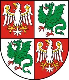
 Flag  Coat of arms | |
 Ożarów Mazowiecki | |
| Coordinates: 52°13′N 20°48′E / 52.217°N 20.800°E | |
| Country | |
| Voivodeship | Masovian |
| County | Warsaw West |
| Gmina | Ożarów Mazowiecki |
| First mentioned | 15th century |
| Town rights | 1967 |
| Government | |
| • Mayor | Paweł Kanclerz |
| Area | |
| • Total | 5.75 km2 (2.22 sq mi) |
| Population (2018) | |
| • Total | 11,311 |
| • Density | 2,000/km2 (5,100/sq mi) |
| Time zone | UTC+1 (CET) |
| • Summer (DST) | UTC+2 (CEST) |
| Postal code | 05-850 |
| Area code | +48 22 |
| Car plates | WZ |
| Website | http://www.ozarow-mazowiecki.pl |
Ożarów Mazowiecki [ɔˈʐaruf mazɔˈvʲɛt͡skʲi] is a town in Poland, just to the west of Warsaw, in Mazowsze Voivodship. It is the capital of Warsaw West County (since January 1, 2006). Its population numbers 11,311 (2018).
Transport
The Polish National road 92 and Voivodeship roads 701, 718, 735 pass through Ożarów, and the A2 motorway runs nearby, south of the town.
External links
- Official town webpage
- Jewish Community in Ożarów Mazowiecki on Virtual Shtetl
Wikimedia Commons has media related to Ożarów Mazowiecki.
This article is issued from Wikipedia. The text is licensed under Creative Commons - Attribution - Sharealike. Additional terms may apply for the media files.
