Oakenshawe Historic District | |
 Houses along Guilford Terrace, August 2011 | |
   | |
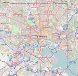
| Location | roughly bounded by York Rd., University Pkwy., Calvert St., and Southway, Baltimore, Maryland |
|---|---|
| Coordinates | 39°19′55″N 76°36′48″W / 39.33194°N 76.61333°W |
| Area | 18 acres (7.3 ha) |
| Architect | Multiple |
| Architectural style | Gothic, Italianate, et al. |
| NRHP reference No. | 03001293[1] |
| Added to NRHP | December 18, 2003 |
Oakenshawe Historic District is a national historic district in Baltimore, Maryland, United States. It comprises 334 buildings which reflect the neighborhood's development during the period 1890 to about 1926. The neighborhood evolved in two stages on the 19th century Wilson estate. The first phase of growth is represented by frame houses dating from 1890 to about 1910 reflecting vernacular interpretations of the Victorian Gothic and Italianate styles. The second stage of development began in the World War I era, when several developers transformed the property by constructing a neighborhood of brick "daylight" rowhouses in revival styles popular at the time.[2]
It was added to the National Register of Historic Places in 2003.[1]
References
- 1 2 "National Register Information System". National Register of Historic Places. National Park Service. July 9, 2010.
- ↑ Dean R. Wagner (July 2002). "National Register of Historic Places Registration: Oakenshawe Historic District" (PDF). Maryland Historical Trust. Retrieved 2016-03-01.
External links
- Oakenshawe Historic District, Baltimore City, including photo dated 2002, at Maryland Historical Trust
- Boundary Map of the Oakenshawe Historic District, Baltimore City, at Maryland Historical Trust
See also
This article is issued from Wikipedia. The text is licensed under Creative Commons - Attribution - Sharealike. Additional terms may apply for the media files.

