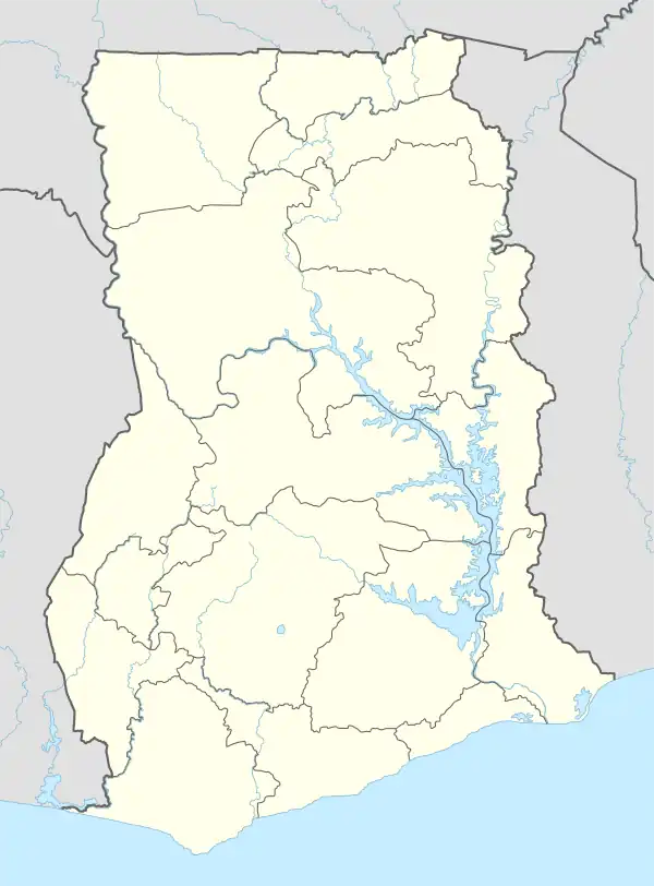
Oforikrom Municipal District | |
|---|---|
Municipal District | |
.svg.png.webp) Districts of Ashanti Region | |
 Oforikrom Municipal District Location of Oforikrom Municipal District within Ashanti | |
| Coordinates: 6°41′N 1°35′W / 6.683°N 1.583°W | |
| Country | |
| Region | |
| Capital | Oforikrom |
| Area | |
| • Total | 49.34 km2 (19.05 sq mi) |
| Population (2021 Census) | |
| • Total | 213,126[1] |
| Time zone | UTC+0 (GMT) |
Oforikrom Municipal District is one of the forty-three districts in Ashanti Region, Ghana.[2][3][4][5] Originally it was a sub-metropolitan district council within the Kumasi Metropolitan Assembly until 15 March 2018, when it was elevated to municipal district assembly status to become Oforikrom Municipal District. The municipality is located in the central part of Ashanti Region and has Oforikrom as its capital town.[6][7]
References
- ↑ Ghana: Administrative Division
- ↑ "New Districts & Nominated DCEs" (PDF). ghanadistricts. Archived from the original (PDF) on 5 Mar 2013.
- ↑ "All Districts". ghanadistricts. Retrieved 8 June 2018.
- ↑ "Districts of Ghana". statoids. Retrieved 8 June 2018.
- ↑ https://www.mofep.gov.gh/sites/default/files/composite-budget/2020/AR/Oforikrom.pdf
- ↑ "Ghana Districts: A repository of all Local Assemblies in Ghana". ghanadistricts.gov.gh. Retrieved 2021-03-01.
- ↑ "Oforikrom MCE inaugurates 3-unit Classroom block for Appiadu RC JHS". Graphic Online. Retrieved 2021-03-01.
6°41′N 1°35′W / 6.683°N 1.583°W
This article is issued from Wikipedia. The text is licensed under Creative Commons - Attribution - Sharealike. Additional terms may apply for the media files.