Oiapoque Airport Aeroporto de Oiapoque | |||||||||||
|---|---|---|---|---|---|---|---|---|---|---|---|
 Arrival of a medical flight during the COVID-19 pandemic (2020) | |||||||||||
| Summary | |||||||||||
| Airport type | Public | ||||||||||
| Serves | Oiapoque | ||||||||||
| Time zone | BRT (UTC−03:00) | ||||||||||
| Elevation AMSL | 16 m / 53 ft | ||||||||||
| Coordinates | 03°51′41″N 051°47′46″W / 3.86139°N 51.79611°W | ||||||||||
| Map | |||||||||||
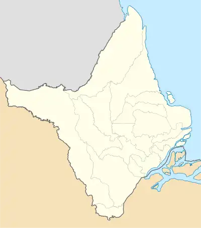
 OYK Location in Brazil  OYK OYK (Brazil) | |||||||||||
| Runways | |||||||||||
| |||||||||||
Oiapoque Airport (IATA: OYK, ICAO: SBOI) is the airport serving Oiapoque, Brazil.
History
Oiapoque Airport, located by the French Guiana border, does not allow for instrument approach. The nearest airport with instrument approach is Cayenne – Félix Eboué Airport at a distance of 66.5 kilometres.[3]
Airlines and destinations
| Airlines | Destinations |
|---|---|
| Omni Táxi Aéreo | Charter: Macapá |
Access
The airport is located 5 km (3 mi) from downtown Oiapoque.
Accidents
- 4 June 2002: a Marco Zero Táxi Aéreo EMB-721 Sertanejo registration PT-EPH flying from Oiapoque to Macapá International Airport crashed near the Cassiporé River killing all five occupants. The accident was probably caused by poor weather.[4][5]
See also
References
- ↑ "Aeródromos". ANAC (in Portuguese). 29 June 2020. Retrieved 8 May 2021.
- ↑ "OIAPOQUE (SBOI)". DECEA (in Portuguese). Retrieved 17 August 2023.
- ↑ "Oiapoque Airport". Sky Vector. Retrieved 3 April 2021.
- ↑ "Accident description PT-EPH". Aviation Safety Network. Retrieved 8 May 2021.
- ↑ "Destroços de avião desaparecido encontrados no Amapá". UOL Noticias (in Portuguese). Retrieved 3 April 2021.
External links
- Airport information for SBOI at Great Circle Mapper. Source: DAFIF (effective October 2006).
- Current weather for SBOI at NOAA/NWS
- Accident history for OYK at Aviation Safety Network
This article is issued from Wikipedia. The text is licensed under Creative Commons - Attribution - Sharealike. Additional terms may apply for the media files.