Okaba | |
|---|---|
 Okaba village at dusk | |
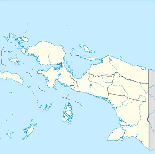 Okaba Location in Western New Guinea and Indonesia  Okaba Okaba (Indonesia) | |
| Coordinates: 8°05′S 139°43′E / 8.083°S 139.717°E | |
| Country | |
| Province | South Papua |
| Regency | Merauke Regency |
| Area | |
| • Total | 7,406 km2 (2,859 sq mi) |
| Population (2018 est.) | |
| • Total | 1,270[1] |
| • Density | 1,714/km2 (4,440/sq mi) |
| Time zone | UTC+9 (WIB) |
| Climate | Af |
Okaba is a coastal town in Merauke Regency, South Papua, Indonesia.
History

The village was established as a government post and a police station in 1907 by the Dutch, not long after the foundation of Merauke in 1902. The goal was to stop Marind-anim headhunting raids in the area. In July 1910, a catholic mission was founded there by the Dutch priest Jos van der Kolk. Although the mission shut down in 1915, it reopened in 1922, under the supervision of a Belgian priest, Peter Vertenten, who had previously worked in Belgian Congo.[2] In August 1943, a small outpost of the Australian army under the command of an infantry sergeant was established there, as part of the defense of Merauke against a possible Japanese invasion.[3] After the Dutch withdrawal from Western New Guinea in 1962, it became part of Indonesia.
Climate
Okaba has a tropical savanna climate (Aw) with heavy rainfall from November to May to and moderate to little rainfall from June to October.
| Climate data for Okaba | |||||||||||||
|---|---|---|---|---|---|---|---|---|---|---|---|---|---|
| Month | Jan | Feb | Mar | Apr | May | Jun | Jul | Aug | Sep | Oct | Nov | Dec | Year |
| Mean daily maximum °C (°F) | 31.1 (88.0) |
30.9 (87.6) |
31.0 (87.8) |
31.0 (87.8) |
30.4 (86.7) |
29.4 (84.9) |
28.7 (83.7) |
29.1 (84.4) |
30.4 (86.7) |
31.3 (88.3) |
32.0 (89.6) |
31.7 (89.1) |
30.6 (87.1) |
| Daily mean °C (°F) | 27.1 (80.8) |
27.0 (80.6) |
27.1 (80.8) |
27.0 (80.6) |
26.5 (79.7) |
25.5 (77.9) |
25.0 (77.0) |
24.9 (76.8) |
25.7 (78.3) |
26.6 (79.9) |
27.3 (81.1) |
27.4 (81.3) |
26.4 (79.6) |
| Mean daily minimum °C (°F) | 23.1 (73.6) |
23.1 (73.6) |
23.2 (73.8) |
23.0 (73.4) |
22.6 (72.7) |
21.6 (70.9) |
21.3 (70.3) |
20.8 (69.4) |
21.0 (69.8) |
21.9 (71.4) |
22.6 (72.7) |
23.1 (73.6) |
22.3 (72.1) |
| Average precipitation mm (inches) | 288 (11.3) |
229 (9.0) |
277 (10.9) |
190 (7.5) |
135 (5.3) |
52 (2.0) |
48 (1.9) |
20 (0.8) |
26 (1.0) |
64 (2.5) |
132 (5.2) |
214 (8.4) |
1,675 (65.8) |
| Source: Climate-Data.org[4] | |||||||||||||
References
- ↑ Indonesian statistics. (2019). p.20.
- ↑ Steenbrink, Karel. (2008) pp.237, 240
- ↑ Dexter (1961). p. 812
- ↑ "Climate: Okaba". Climate-Data.org. Retrieved July 25, 2020.
Bibliography
- Steenbrink, Karel (2008). Catholics in Indonesia, 1808-1942: A Documented History. Vol. 2: The Spectacular Growth of a Self Confident Minority, 1903–1942. Leiden, Netherlands: KITLV Press. ISBN 9-0671-8260-5.
- Dexter, David (1961). The New Guinea Offensives. Australia in the War of 1939–1945. Series 1 – Army. Volume 6. Canberra: Australian War Memorial. OCLC 2028994.
- Statistics Indonesia. "Kecamatan Okaba Dalam Angka 2019 (Okaba Subdistrict in Numbers, 2019)" (in Indonesian).