| Oliver Hill | |
|---|---|
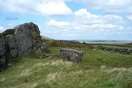 Near the top of Oliver Hill | |
| Highest point | |
| Elevation | 513 m (1,683 ft)[1] |
| Prominence | 45 m[1] |
| Parent peak | Shining Tor[1] |
| Listing | Dewey |
| Coordinates | 53°12′19″N 1°57′41″W / 53.2054°N 1.9613°W |
| Geography | |
 Oliver Hill Location in the Peak District 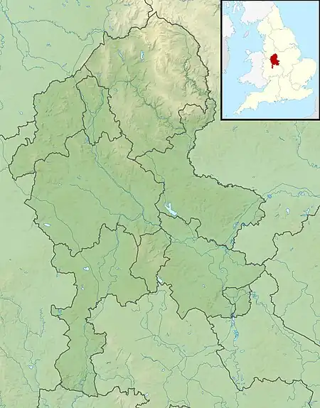 Oliver Hill Location in Staffordshire | |
| Location | Staffordshire, England, UK |
| Parent range | Peak District |
| OS grid | SK027675 |
| Topo map | OS Landranger 119; OL24W |
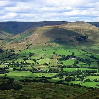
Oliver Hill is a hill, 513 metres (1,683 ft) high, in the Peak District in the county of Staffordshire in England.[1] It is a treeless summit surrounded by farmland in the southern part of the Peak District about 6 kilometres (3.7 mi) south-southwest of the town of Buxton. The summit has a tiny cairn near some aerials.[1]
References
This article is issued from Wikipedia. The text is licensed under Creative Commons - Attribution - Sharealike. Additional terms may apply for the media files.