 | |
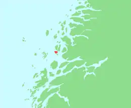
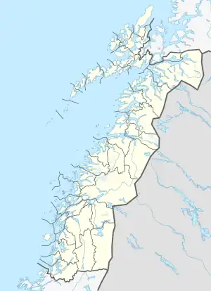
 Onøya Location of the island  Onøya Onøya (Norway) | |
| Geography | |
|---|---|
| Location | Nordland, Norway |
| Coordinates | 66°23′13″N 12°51′14″E / 66.3870°N 12.8539°E |
| Area | 7.7 km2 (3.0 sq mi) |
| Length | 4.2 km (2.61 mi) |
| Width | 3.8 km (2.36 mi) |
| Highest elevation | 197 m (646 ft) |
| Highest point | Stokksvikfjellet |
| Administration | |
Norway | |
| County | Nordland |
| Municipality | Lurøy Municipality |
| Demographics | |
| Population | 279 (2017) |
Onøya is an island in Lurøy Municipality in Nordland county, Norway. The 7.7-square-kilometre (3.0 sq mi) island lies immediately south of the island of Lurøya and southwest of the island of Stigen. The island is connected to Lurøya by a short bridge. Onøya sits just west of the mouth of the Sjona fjord. It is only accessible by boat. The highest point on the island is the 197-metre (646 ft) tall mountain Stokksvikfjellet. In 2017, there were 279 residents of the island.[1]
See also
References
- ↑ Thorsnæs, Geir, ed. (2016-04-06). "Onøya". Store norske leksikon (in Norwegian). Kunnskapsforlaget. Retrieved 2019-02-02.
This article is issued from Wikipedia. The text is licensed under Creative Commons - Attribution - Sharealike. Additional terms may apply for the media files.