Oostwold | |
|---|---|
.jpg.webp) Protestant Church | |
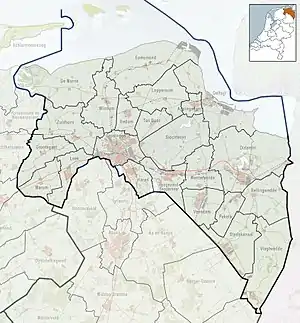 Oostwold Location on a map of Groningen (province)  Oostwold Oostwold (Netherlands) | |
| Coordinates: 53°12′05″N 06°26′29″E / 53.20139°N 6.44139°E | |
| Country | |
| Province | |
| Municipality | |
| Area | |
| • Total | 4.36 km2 (1.68 sq mi) |
| Elevation | −0.4 m (−1.3 ft) |
| Population (2021)[1] | |
| • Total | 680 |
| • Density | 160/km2 (400/sq mi) |
| Postal code | 9828[1] |
| Dialing code | 0597 |
Oostwold (Dutch pronunciation: [ˈoːst.ʋɔlt]) is a village in the municipality of Westerkwartier in the province of Groningen in the Netherlands.
History
The village was first mentioned in 1458 as Oestwolde, and means "eastern woods".[3]
In 1908, the Reformed church was built as a replacement for its medieval predecessor. It was decommissioned in 2004 and in 2005 bought by the restaurant next door for parties, meetings, and congresses.[4]
Oostwold was home to 254 people in 1840.[4]
Gallery
.jpg.webp) Main street
Main street.jpg.webp) Sports centre
Sports centre.jpg.webp) Former school
Former school
References
- 1 2 3 "Kerncijfers wijken en buurten 2021". Central Bureau of Statistics. Retrieved 9 April 2022.
- ↑ "Postcodetool for 9828PA". Actueel Hoogtebestand Nederland (in Dutch). Het Waterschapshuis. Retrieved 9 April 2022.
- ↑ "Oostwold - (geografische naam)". Etymologiebank (in Dutch). Retrieved 9 April 2022.
- 1 2 "Oostwold (Westerkwartier)". Plaatsengids (in Dutch). Retrieved 9 April 2022.
External links
 Media related to Oostwold (Westerkwartier) at Wikimedia Commons
This article is issued from Wikipedia. The text is licensed under Creative Commons - Attribution - Sharealike. Additional terms may apply for the media files.