| Otluk Mountains | |
|---|---|
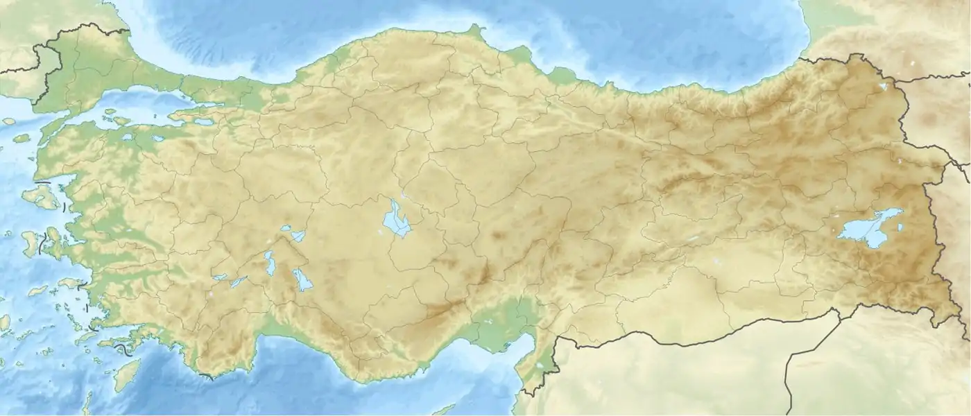 Otluk Mountains Turkey | |
| Highest point | |
| Elevation | 2.100m [1] |
| Coordinates | 38°54′59″N 41°46′02″E / 38.9165°N 41.7673°E |
| Geography | |
| Location | Muş, Bulanık, Korkut, Muş Province, Turkey |
The Otluk Mountains (Turkish: Otluk Dağları), is a mountain range in eastern Turkey that extends at the zero point of the borders of Muş, Bulanık and Korkut districts. It is located in the middle part of Muş province.[2][3]
Geology and geomorphology
The range is located within the Karasu creek basin.[4] The highest point of the Otluk mountains is located on a pointed hill exceeding 2100 meters near Üçsırt village of Muş central district. [5]
References
- ↑ "Muş'un coğrafi yapısı". Muş İl Kültür ve Turizm Müdürlüğü (in Turkish). Retrieved 2023-09-30.
- ↑ "Muş il fiziki haritası" (PDF) (in Turkish). Harita genel müdürlüğü. September 30, 2023. Archived (PDF) from the original on August 18, 2023.
- ↑ "Dağlar". Muş İl Kültür ve Turizm Müdürlüğü (in Turkish). Retrieved 2023-09-28.
- ↑ "Ulusal Tez Merkezi | Anasayfa". tez.yok.gov.tr. Retrieved 2023-09-30.
- ↑ "Muş ili'nde yerleşme tiplerinin coğrafi dağılışı" (in Turkish). Muş Alparslan University and Fırat University. January 18, 2019. p. 16.
Wikimedia Commons has media related to Otluk Mountains.
This article is issued from Wikipedia. The text is licensed under Creative Commons - Attribution - Sharealike. Additional terms may apply for the media files.