Otter, Ohio | |
|---|---|
 Otter, Ohio Location of Otter, Ohio | |
| Coordinates: 40°16′33″N 83°25′09″W / 40.27583°N 83.41917°W | |
| Country | United States |
| State | Ohio |
| Counties | Union |
| Elevation | 1,014 ft (309 m) |
| Time zone | UTC-5 (Eastern (EST)) |
| • Summer (DST) | UTC-4 (EDT) |
| ZIP code | 43040 |
| Area code(s) | 937, 326 |
| GNIS feature ID | 1049046[1] |
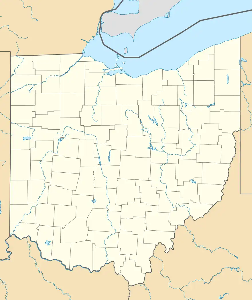
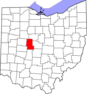
Otter is an unincorporated community in Paris Township, Union County, Ohio, United States. It is located at 40°16′33″N 83°25′09″W / 40.27583°N 83.41917°W, just northwest of Marysville, on the banks of Otter Run, at the intersection of Dog Leg Road and Westlake-Lee Road.[2][3]
Before 1900, there was a railroad station located here on the Western Division of the Toledo and Ohio Central Railway, but never a post office.[4] The railroad station was discontinued on May 26, 1954.[5]
References
- 1 2 "US Board on Geographic Names". United States Geological Survey. 2007-10-25. Retrieved 2019-12-30.
- ↑ U.S. Geological Survey Geographic Names Information System: Otter, Ohio
- ↑ Rand McNally. The Road Atlas '06. Chicago: Rand McNally, 2006, 78.
- ↑ "A B C Pathfinder Shipping and Mailing Guide". New England Railway Publishing Company. 1899. Pg. 531.
- ↑ "Annual Report of the Public Utilities Commission of Ohio to the Governor of the State of Ohio for the Year 1954". Public Utilities Commission of Ohio. The Commission. 1954. Pg. 208
This article is issued from Wikipedia. The text is licensed under Creative Commons - Attribution - Sharealike. Additional terms may apply for the media files.
