Oxberry, Mississippi | |
|---|---|
 Oxberry  Oxberry | |
| Coordinates: 33°47′25″N 90°02′08″W / 33.79028°N 90.03556°W | |
| Country | United States |
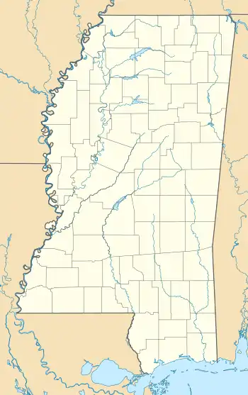
| State | Mississippi |
| County | Grenada |
| Elevation | 171 ft (52 m) |
| Time zone | UTC-6 (Central (CST)) |
| • Summer (DST) | UTC-5 (CDT) |
| ZIP code | 38940 |
| Area code | 662 |
| GNIS feature ID | 692127[1] |
Oxberry is an unincorporated community located in Grenada County, Mississippi, United States and part of the Grenada Micropolitan Statistical Area . Oxberry is approximately 10 miles (16 km) northwest of Holcomb, Mississippi and approximately 3 miles (4.8 km) south-southeast of Cascilla, Mississippi on Mississippi Highway 35.
Oxberry is named for James Oxberry, who was a Choctaw interpreter and owned the surrounding land where the community developed.[2]
The community was once home to a saw mill and cotton gin.[3]
A post office operated under the name Oxberry from 1891 to 1908.[4]
Oxberry was once located on the Rankin-Memphis Road, which was a road built through Choctaw lands prior to the Treaty of Dancing Rabbit Creek.[5]
References
- ↑ U.S. Geological Survey Geographic Names Information System: Oxberry, Mississippi
- ↑ "Vanished Villages". Holcomb, Mississippi. Retrieved February 13, 2021.
- ↑ Rowland, Dunbar (1907). Mississippi: Comprising Sketches of Counties, Towns, Events, Institutions, and Persons, Arranged in Cyclopedic Form. Vol. 2. Southern Historical Publishing Association. p. 368.
- ↑ "Grenada County". Jim Forte Postal History. Retrieved February 12, 2021.
- ↑ J. C. Hathorn. A History of Grenada County. David Jensen. p. 36.
Municipalities and communities of Grenada County, Mississippi, United States | ||
|---|---|---|
| Cities | 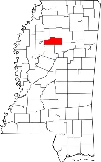 Map of Mississippi highlighting Grenada County | |
| CDPs | ||
| Other unincorporated communities | ||
This article is issued from Wikipedia. The text is licensed under Creative Commons - Attribution - Sharealike. Additional terms may apply for the media files.