Oxbow Estates, Arizona | |
|---|---|
 Oxbow Estates  Oxbow Estates | |
| Coordinates: 34°10′59″N 111°20′22″W / 34.18306°N 111.33944°W | |
| Country | United States |
| State | Arizona |
| County | Gila |
| Area | |
| • Total | 0.49 sq mi (1.28 km2) |
| • Land | 0.49 sq mi (1.28 km2) |
| • Water | 0.00 sq mi (0.00 km2) |
| Elevation | 4,630 ft (1,410 m) |
| Population (2020) | |
| • Total | 198 |
| • Density | 401.62/sq mi (155.02/km2) |
| Time zone | UTC-7 (MST (no DST)) |
| ZIP code | 85541[2] |
| Area code | 928 |
| FIPS code | 04-51775 |
| GNIS feature ID | 0040844 |
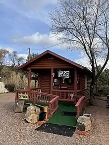
Oxbow Estates, Arizona – RV Park Office
Oxbow Estates is a census-designated place (CDP) in Gila County, Arizona, United States. The population was 217 at the 2010 census.[3]
Geography
The CDP is located in northern Gila County on the west side of Arizona State Route 87 (the Beeline Highway), 4 miles (6 km) south of Payson. It is drained to the west by the seasonally flowing St. Johns Creek, a tributary of Rye Creek and part of the Tonto Creek watershed. According to the United States Census Bureau, the CDP has a total area of 0.49 square miles (1.27 km2), all land.[3]
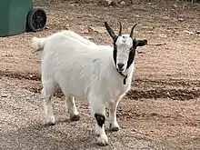
Oxbow Estates, Arizona – Friendly Goat
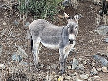
Oxbow Estates, Arizona – Pokey, the Friendly Burro
Demographics
| Census | Pop. | Note | %± |
|---|---|---|---|
| 2020 | 198 | — | |
| U.S. Decennial Census[4] | |||
References
- ↑ "2020 U.S. Gazetteer Files". United States Census Bureau. Retrieved October 29, 2021.
- ↑ "Oxbow Estates AZ ZIP Code". zipdatamaps.com. 2023. Retrieved May 3, 2023.
- 1 2 "Geographic Identifiers: 2010 Demographic Profile Data (G001): Oxbow Estates CDP, Arizona". U.S. Census Bureau, American Factfinder. Retrieved November 1, 2016.
- ↑ "Census of Population and Housing". Census.gov. Retrieved June 4, 2016.
Municipalities and communities of Gila County, Arizona, United States | ||
|---|---|---|
| City | 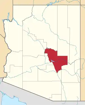 | |
| Towns | ||
| CDPs |
| |
| Populated places | ||
| Indian reservations | ||
| Ghost towns | ||
| Footnotes | ‡This populated place also has portions in an adjacent county or counties | |
This article is issued from Wikipedia. The text is licensed under Creative Commons - Attribution - Sharealike. Additional terms may apply for the media files.