Ozar
OZAR MIG | |
|---|---|
town | |
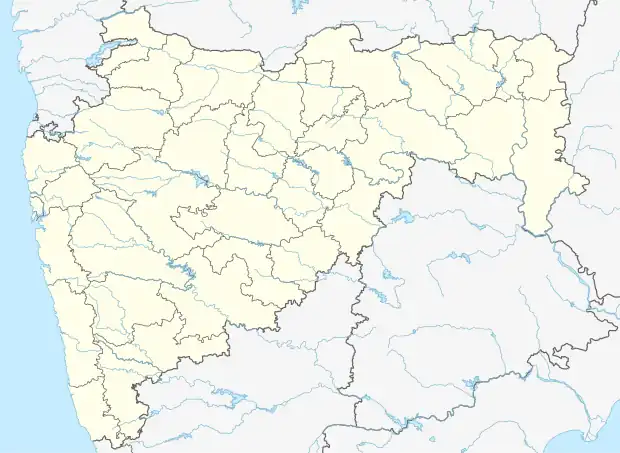 Ozar Location in Maharashtra, India | |
| Coordinates: 20°05′40″N 73°55′39″E / 20.0945°N 73.9275°E | |
| Country | |
| State | Maharashtra |
| District | Nashik |
| Government | |
| • Body | Nagar parishad |
| Population (2011)[1] | |
| • Total | 51,297 |
| Languages | |
| • Official | Marathi |
| Time zone | UTC+5:30 (IST) |
Ozar ⓘ is a census town in Nashik District in the Indian state of Maharashtra. It is part of Nashik Metropolitan Region.
Demographics
As of 2011 India census, Ozar (Ojhar, Ozhar) had a population of 51,297. Males constitute 52% of the population and females 48%. Ozar has an average literacy rate of 78.9%, higher than the national average of 74.04%: male literacy is 82%, and female literacy is 75%. In Ozar, 12.35% of the population is under 6 years of age. Ozar has some major central government installations; HAL and an Indian Air Force & Military Engineering Services (MES) Station. The town is famous for its vineyards, grapes, sugarcane, and onions.
The town, also called Ojhar (MIG) has a defence-based Airport also known as Nashik Airport or Ozar Airport with daily cargo services and domestic flights. The Pragati Aerospace Museum is also located here.
The town is situated on the Indian National Highway No. 3, which is the Mumbai Agra National highway. It is one of the fast developing and growing towns in the Nashik district.
In early 1920s, the tropical viticulture or table grape revolution was started in Ozar by Shri Raosaheb Jairam Krishnaji Gaikwad (1894-1980).
References
Nashik district topics | ||
|---|---|---|
| Cities and towns | .svg.png.webp) | |
| Villages | ||
| Rivers and lakes | ||
| Education | ||
| Lok Sabha constituencies | ||
| Vidhan Sabha constituencies | ||
| Major Highways | ||