Paūliai | |
|---|---|
Village | |
 | |
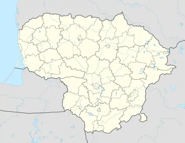 Paūliai Location in Lithuania | |
| Coordinates: 54°09′37″N 24°21′21″E / 54.16028°N 24.35583°E | |
| Country | |
| County | |
| Municipality | Varėna District Municipality |
| Elderships | Marcinkonys Eldership |
| Population (2021[1]) | |
| • Total | 3 |
| Time zone | UTC+2 (EET) |
| • Summer (DST) | UTC+3 (EEST) |
Paūliai is a village in Varėna District Municipality, Alytus County, in southeastern Lithuania. According to the 2021 census, the village had a population of 27 people.[2] In 1921–1945, the village was within the borders of the Second Polish Republic.
Paūliai is located about 24 kilometres (15 mi) from Varėna, 22 kilometres (14 mi) from Marcinkonys, 4 kilometres (2.5 mi) from Lavysas (the nearest settlement).
References
- ↑ "GYVENTOJAI GYVENAMOSIOSE VIETOVĖSE" (XLSX). Osp.stat.gov.lt. Retrieved 17 July 2022.
- ↑ Gyventojai gyvenamosiose vietovėse: Lietuvos Respublikos 2021 metų gyventojų surašymo rezultatai (in Lithuanian). Vilnius: Department of Statistics to the Government of the Republic of Lithuania. 2021. p. 54. ISBN 978-9986-589-83-9.

This article is issued from Wikipedia. The text is licensed under Creative Commons - Attribution - Sharealike. Additional terms may apply for the media files.