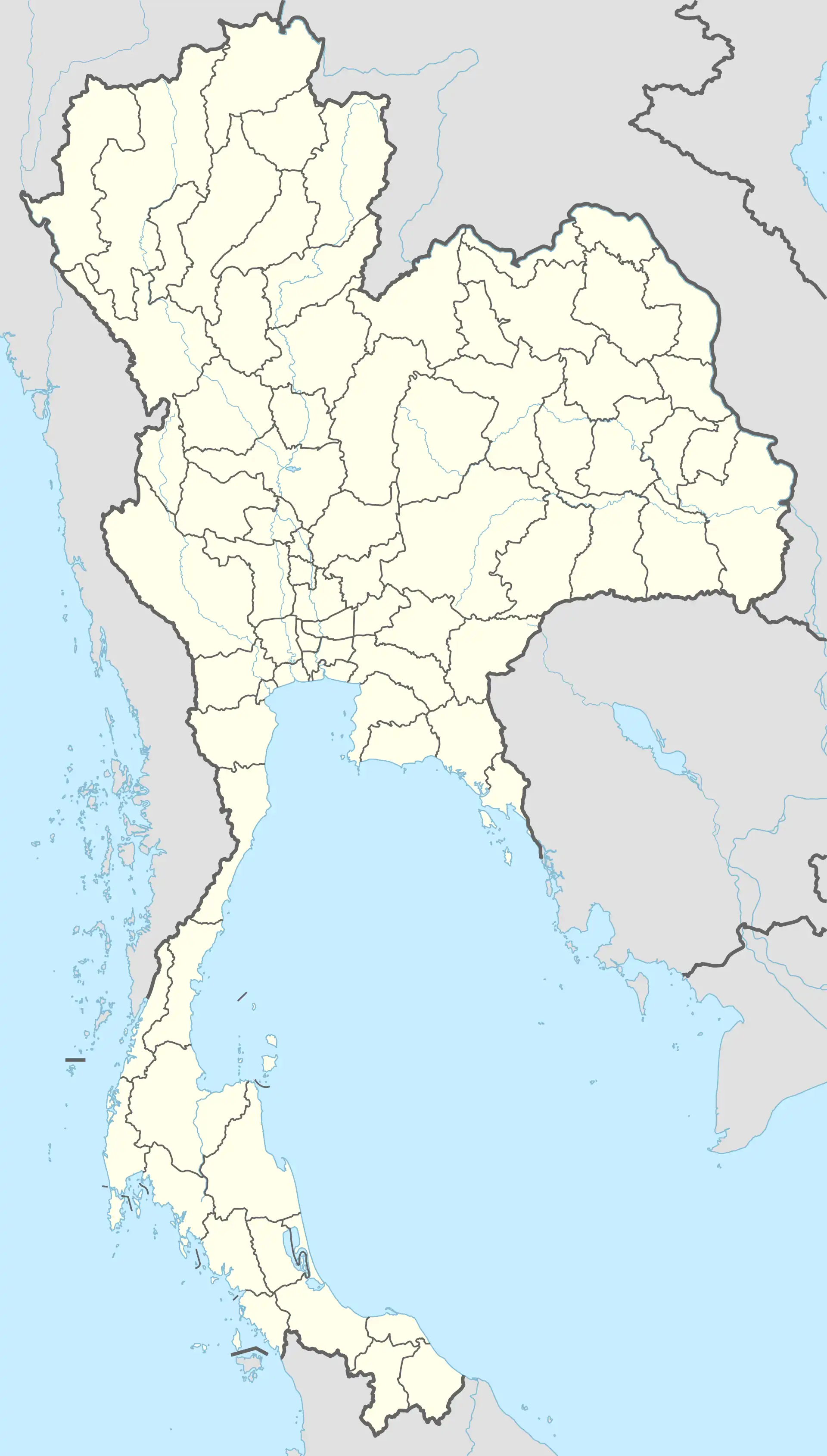
Pa Sak
ป่าสัก | |
|---|---|
 Pa Sak | |
| Coordinates: 17°48′10″N 99°29′45″E / 17.8029°N 99.4958°E | |
| Country | |
| Province | Phrae |
| Amphoe | Wang Chin |
| Population (2019) | |
| • Total | 5,362 |
| Time zone | UTC+7 (TST) |
| Postal code | 54160 |
| TIS 1099 | 540706 |
Pa Sak (Thai: ป่าสัก) is a tambon (subdistrict) of Wang Chin District, in Phrae Province, Thailand. In 2019 it had a total population of 5,362 people.[1]
History
The subdistrict was created effective November 5, 1990 by splitting off 5 administrative villages from Soi.[2]
Administration
Central administration
The tambon is subdivided into 10 administrative villages (muban).
| No. | Name | Thai |
|---|---|---|
| 1. | Ban Mae Kratom | บ้านแม่กระต๋อม |
| 2. | Ban Pang Mai | บ้านปางไม้ |
| 3. | Ban Pa Sak | บ้านป่าสัก |
| 4. | Ban Song Khwae | บ้านสองแคว |
| 5. | Ban Pong Tuet | บ้านโป่งตื้ด |
| 6. | Ban Mae Kratom Lang | บ้านแม่กระต๋อมล่าง |
| 7. | Ban Song Khwae | บ้านสองแคว |
| 8. | Ban Pa Sak Bon | บ้านป่าสักบน |
| 9. | Ban Pang Mai Phatthana | บ้านปางไม้พัฒนา |
| 10. | Ban Mae Kratom Bon | บ้านแม่กระต๋อมบน |
Local administration
The whole area of the subdistrict is covered by the subdistrict administrative organization (SAO) Pa Sak (องค์การบริหารส่วนตำบลป่าสัก).
References
- ↑ "Population statistics 2019" (in Thai). Department of Provincial Administration. Retrieved 2020-12-17.
- ↑ "ประกาศกระทรวงมหาดไทย เรื่อง ตั้งและกำหนดเขตตำบลในท้องที่อำเภอวังชิ้น จังหวัดแพร่" (PDF). Royal Gazette (in Thai). 107 (241 ง): 10170–10172. 1990-12-04.
External links
This article is issued from Wikipedia. The text is licensed under Creative Commons - Attribution - Sharealike. Additional terms may apply for the media files.