Palainiškiai | |
|---|---|
Village | |
 | |
 Palainiškiai Location in Lithuania  Palainiškiai Palainiškiai (Lithuania) | |
| Coordinates: 55°19′52″N 23°48′22″E / 55.33111°N 23.80611°E | |
| Country | |
| County | |
| Municipality | Kėdainiai district municipality |
| Eldership | Krakės Eldership |
| Population (2011) | |
| • Total | 0 |
| Time zone | UTC+2 (EET) |
| • Summer (DST) | UTC+3 (EEST) |
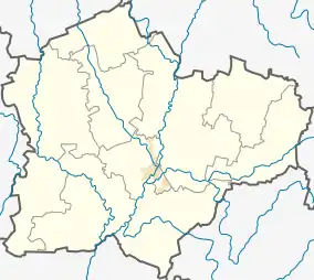
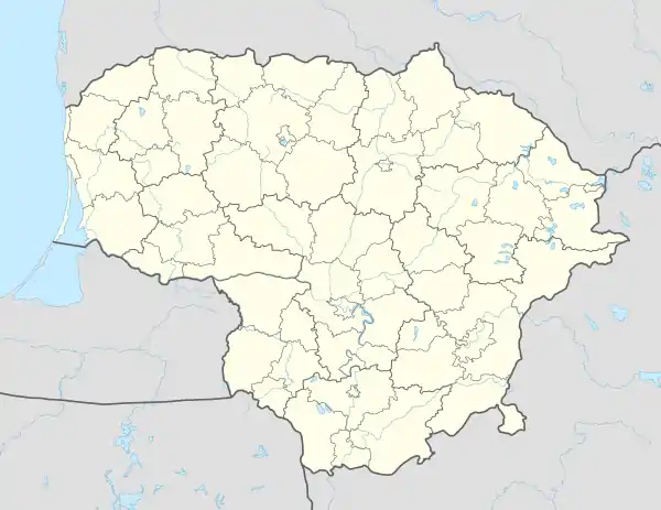
Palainiškiai (formerly Russian: Палайнишки, Polish: Pałajniszki)[1] is a village in Kėdainiai district municipality, in Kaunas County, in central Lithuania. According to the 2011 census, the village was uninhabited.[2] It is located 3 kilometres (1.9 mi) from Ąžuolaičiai, by the Kėdainiai-Krakės road, inside the Josvainiai Forest, by the Smilga river. The Smilga Landscape Sanctuary in located next to Palainiškiai.
At the beginning of the 20th century there was Palainiškiai estate in Josvainiai volost.[1]
Demography
|
| ||||||||||||||||||||||||||||||
| Source: 1902, 1923, 1959 & 1970, 1979, 1989, 2001, 2011 | |||||||||||||||||||||||||||||||
References
- 1 2 "Pałajniszki". Geographical Dictionary of the Kingdom of Poland (in Polish). 15 pt. 2. Warszawa: Kasa im. Józefa Mianowskiego. 1902. p. 430.
- ↑ "2011 census". Statistikos Departamentas (Lithuania). Retrieved August 21, 2017.
This article is issued from Wikipedia. The text is licensed under Creative Commons - Attribution - Sharealike. Additional terms may apply for the media files.
