Palanjek Pokupski | |
|---|---|
Village | |
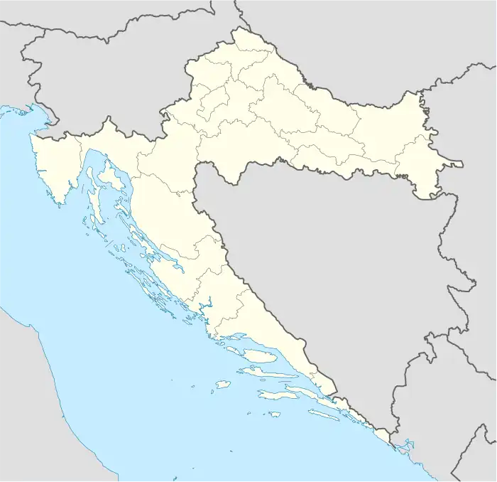
 Palanjek Pokupski Location of Palanjek Pokupski in Croatia | |
| Coordinates: 45°30′00″N 16°03′32″E / 45.5°N 16.059°E | |
| Country | |
| Region | Turopolje |
| County | |
| Municipality | Lekenik |
| Area | |
| • Total | 2.0 sq mi (5.2 km2) |
| Elevation | 528 ft (161 m) |
| Population (2021)[2] | |
| • Total | 7 |
| • Density | 3.5/sq mi (1.3/km2) |
| Time zone | UTC+1 (CET) |
| • Summer (DST) | UTC+2 (CEST) |
| Postal code | 44 271 |
Palanjek Pokupski is a village in municipality of Lekenik in central Croatia.
History
The ancient Roman archaeological site called Gradina is located south of the village with ceramic artifacts, bricks, and residues of sand and clay plaster present at the site.[3]
World War II persecutions of local Serb population
On the night of 11 to 12 May 1941, 5 local Serbs were seized and murdered after the killing of a Nazi soldier in the village of Pešćenica.[4]
References
- ↑ Register of spatial units of the State Geodetic Administration of the Republic of Croatia. Wikidata Q119585703.
- ↑ "Population by Age and Sex, by Settlements, 2021 Census". Census of Population, Households and Dwellings in 2021. Zagreb: Croatian Bureau of Statistics. 2022.
- ↑ "POVIJEST / ARHEOLOŠKA BAŠTINA" (in Croatian). Lekenik Municipality. Retrieved 24 December 2017.
- ↑ Stipica Grgić (December 2013). "Biti Židov na hrvatskom selu: Skica za portret Juliusa Manna, lekeničkog trgovca i mecene (1870.-1943.?)" (PDF) (in Croatian). Radovi: Radovi Zavoda za hrvatsku povijest Filozofskoga fakulteta Sveučilišta u Zagrebu. pp. 71–94. Retrieved 24 December 2017.
This article is issued from Wikipedia. The text is licensed under Creative Commons - Attribution - Sharealike. Additional terms may apply for the media files.