| Palmer State Park | |
|---|---|
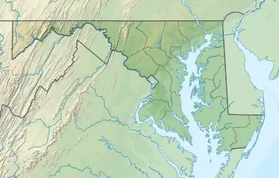
 Location in Maryland | |
| Location | Harford County, Maryland, United States |
| Nearest town | Dublin |
| Coordinates | 39°36′59″N 76°16′38″W / 39.61639°N 76.27722°W[2] |
| Area | 590 acres (240 ha)[3] |
| Elevation | 312 ft (95 m)[2] |
| Designation | Maryland state park |
| Established | 1965 |
| Administrator | Maryland Department of Natural Resources |
| Website | Palmer State Park |
Palmer State Park is a public recreation area located along Deer Creek two miles southwest of Dublin in Harford County, Maryland. The state park saw its genesis in 1965, when Gerald and Ruth Palmer donated 463 acres for use as a public park. The park's historic industrial sites include remnants of the Husband Flint Mill and Deer Creek Iron Works.[4] The heavily forested area is open to canoeing, fishing, and hiking.[5]
References
- ↑ "Palmer State Park". Protected Planet. IUCN. Retrieved May 1, 2018.
- 1 2 "Palmer State Park". Geographic Names Information System. United States Geological Survey, United States Department of the Interior.
- ↑ "DNR Lands Acreage" (PDF). Maryland Department of Natural Resources. p. 9. Retrieved January 8, 2020.
- ↑ "Palmer State Park Land Unit Plan" (PDF). Maryland Department of Natural Resources. June 2012. Retrieved November 6, 2017.
- ↑ "Palmer State Park". Maryland Department of Natural Resources. Retrieved November 6, 2017.
External links
- Palmer State Park Maryland Department of Natural Resources
- Palmer State Park Map Maryland Department of Natural Resources
This article is issued from Wikipedia. The text is licensed under Creative Commons - Attribution - Sharealike. Additional terms may apply for the media files.