Panchetgarh | |
|---|---|
Village | |
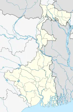 Panchetgarh Location in West Bengal, India  Panchetgarh Panchetgarh (India) | |
| Coordinates: 21°57′20″N 87°33′37″E / 21.95556°N 87.56028°E | |
| Country | |
| State | West Bengal |
| District | Purba Medinipur |
| Government | |
| • Body | Gram panchayat |
| Languages | |
| • Official | Bengali, English |
| Time zone | UTC+5:30 (IST) |
| ISO 3166 code | IN-WB |
| Vehicle registration | WB |
| Website | wb |
Panchetgarh (also known as Panchet) is a village in Patashpur II CD Block in Egra subdivision in Purba Medinipur district of state of West Bengal in India.
Demographics
As per 2011 Census of India Panchet had a total population of 4,106 of which 2,120 (52%) were males and 1,986 (48%) were females. Population below 6 years was 454. The total number of literates in Panchet was 3,010 (82.42% of the population over 6 years).[1]
References
- ↑ "2011 Census – Primary Census Abstract Data Tables". West Bengal – District-wise. Registrar General and Census Commissioner, India. Retrieved 10 November 2016.
Cities, towns, locations and neighbourhoods in Purba Medinipur District, Medinipur division | ||||||||||
|---|---|---|---|---|---|---|---|---|---|---|
| Cities, municipal and census towns |
|  Divisions of West Bengal | ||||||||
| Locations other than cities and towns |
| |||||||||
| Neighbourhoods |
| |||||||||
| Related topics |
| |||||||||
This article is issued from Wikipedia. The text is licensed under Creative Commons - Attribution - Sharealike. Additional terms may apply for the media files.