Pansy | |
|---|---|
Village | |
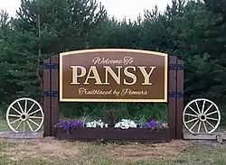
 Pansy Welcome Sign | |
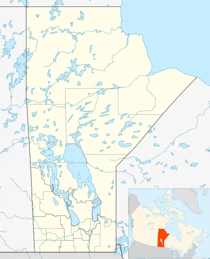
 Pansy Location of Pansy in Manitoba. | |
| Coordinates: 49°19′34″N 96°42′52″W / 49.32611°N 96.71444°W[1] | |
| Country | Canada |
| Province | Manitoba |
| Government | |
| • MP (Provencher) | Ted Falk (CPC) |
| • MLA (La Verendrye) | Konrad Narth (PC) |
| • Reeve (Hanover) | Stan Toews |
| • Councillor (Ward 4) | Dylan Barkman |
| Elevation | 287 m (942 ft) |
| Time zone | UTC-6 (CST) |
| • Summer (DST) | UTC-5 (CDT) |
| Postal Code | R0A 1J0[2] |
Pansy is an unincorporated community in Manitoba, Canada, within the Rural Municipality of Hanover. The community is centred on Provincial Road 403, approximately 22 kilometres (14 mi) south of Steinbach and 17 kilometres (11 mi) east of Saint Malo.
A post office was opened in 1928[3] and a Ukrainian Catholic church and cemetery were established in 1952.[4]
Pansy is known for its Fall Supper on the second Sunday of September. In 2016, 1,600 people were served, coming from across Manitoba and beyond.[5]
References
- ↑ "Pansy". Mapcarta.
- ↑ "POSTAL CODES PANSY, PANSY, MANITOBA". www.ezpostalcodes.com.
- ↑ Geographical names of Manitoba. Manitoba. Manitoba Conservation. [Winnipeg]: Manitoba Conservation. 2000. ISBN 0-7711-1517-2. OCLC 51764498.
{{cite book}}: CS1 maint: others (link) - ↑ Penner, George (May 15, 2021). "Historic Sites of Manitoba: Sts. Peter and Paul Ukrainian Catholic Church and Cemetery (Pansy, RM of Hanover)". Manitoba Historical Society. Retrieved March 26, 2022.
- ↑ Plett, Tammy. "Fall Supper Brings In Over 1,600 People This Year - Steinbachonline.com". Steinbachonline.com. Retrieved October 28, 2018.
49°42′38″N 96°59′18″W / 49.71056°N 96.98833°W
This article is issued from Wikipedia. The text is licensed under Creative Commons - Attribution - Sharealike. Additional terms may apply for the media files.
