Paraguachón | |
|---|---|
 Paraguachón | |
| Coordinates: 11°21′40″N 72°08′08″W / 11.36111°N 72.13556°W | |
| Country | Colombia |
| Region | Caribbean |
| Department | La Guajira |
| Municipality | Maicao |
| Time zone | UTC-5 |
| Area code | 57 + 5 |
| Climate | Aw |
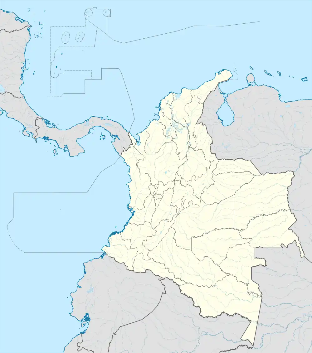
Paraguachón (Wayuu: Paalüwachon) is a corregimiento and community located 8 km (5.0 mi) east of Maicao, the municipality in which it is located. It is located in the La Guajira Department, in northern Colombia. It is a town that is located on the margin of the border with Venezuela and is where the Transversal del Caribe ends.[1]
References
- ↑ "En un 69% aumentaron viajeros por Paraguachón". El Heraldo. 27 March 2013. Archived from the original on 15 August 2016. Retrieved 15 April 2013.
This article is issued from Wikipedia. The text is licensed under Creative Commons - Attribution - Sharealike. Additional terms may apply for the media files.