Park Central | |
|---|---|
 Park Central  Park Central | |
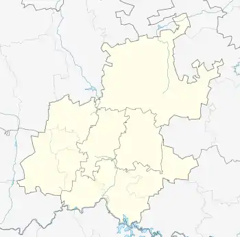
| Coordinates: 26°13′05″S 28°02′17″E / 26.218°S 28.038°E | |
| Country | South Africa |
| Province | Gauteng |
| Municipality | City of Johannesburg |
| Established | 1955 |
| Area | |
| • Total | 0.31 km2 (0.12 sq mi) |
| Population (2001)[1] | |
| • Total | 84 |
| • Density | 270/km2 (700/sq mi) |
| Racial makeup (2001) | |
| • Black African | 89.3% |
| • Coloured | 10.7% |
| First languages (2001) | |
| • Northern Sotho | 28.6% |
| • Zulu | 21.4% |
| • Tswana | 17.9% |
| • Xhosa | 10.7% |
| • Other | 21.4% |
| Time zone | UTC+2 (SAST) |
| Postal code (street) | 2001 |
Park Central is a suburb of Johannesburg, South Africa. It is located in Region F of the City of Johannesburg Metropolitan Municipality.
History
The suburb is situated on part of an old Witwatersrand farm called Turffontein.[2] Established on the old slime dumps of the Ferreira Gold Mine, it became a suburb in May 1955.[2] It was named after Central Park, New York, at one time was also waste ground.[2] Prior to its reclamation in 2009, the main mine dump was the location of the old Top Star Drive-In.[3]
References
- 1 2 "Sub Place Park Central". Census 2001.
- 1 2 3 Raper, Peter E.; Moller, Lucie A.; du Plessis, Theodorus L. (2014). Dictionary of Southern African Place Names. Jonathan Ball Publishers. p. 1412. ISBN 9781868425501.
- ↑ Harrison, Philip (2004). South Africa's Top Sites: Science. New Africa Books. p. 112. ISBN 9780864865632.
This article is issued from Wikipedia. The text is licensed under Creative Commons - Attribution - Sharealike. Additional terms may apply for the media files.