| Park Valley | |
|---|---|
 Park Valley | |
| Length | 15 mi (24 km) |
| Width | 12 mi (19 km) |
| Geography | |
| Country | United States |
| State | Arizona |
| Region | Gila River Valley ((northwest)-Sonoran Desert) |
| District | Yuma County, Arizona |
| Population centers | |
| Borders on | Hyder Valley-NE Palomas Mountains-NW San Cristobal Valley-SW Sentinel Plain-SE |
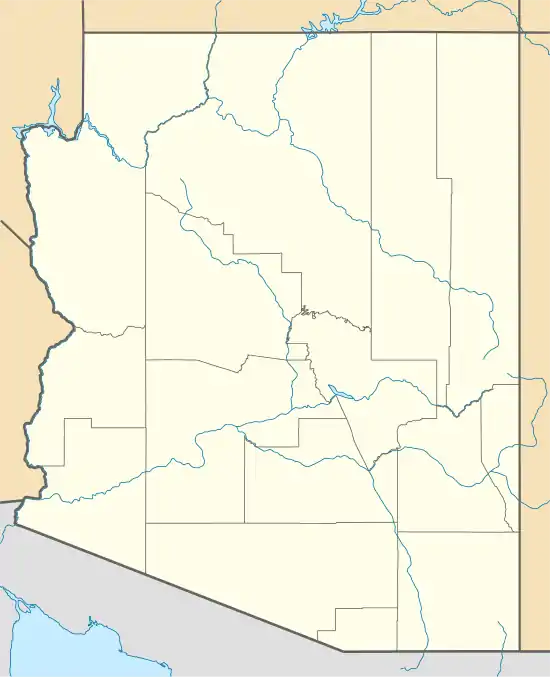
| Coordinates | 32°47′47″N 113°32′28″W / 32.79639°N 113.54111°W |
The Park Valley of Arizona is a small, northwest by southeast trending valley centered on the Gila River in central-east Yuma County. The southeast border of the valley is the northern Sentinel Plain of Maricopa County which drains northwestwards toward the Gila River Valley.
Interstate 8 is on the south perimeter of the valley, with towns on I-8 of Dateland in the southwest, Aztec on the center-south, and further east, Sentinel on the southeast.
Tenmile Wash, of the Tenmile Wash Watershed[1] has its outfall on the Gila River on the southwest of Park Valley. The coordinates for Dateland, Arizona, on the southwest border of Park Valley are 32°47′47″N 113°32′28″W / 32.79639°N 113.54111°W[2]
See also
References
External links
This article is issued from Wikipedia. The text is licensed under Creative Commons - Attribution - Sharealike. Additional terms may apply for the media files.