Parker Ford, Pennsylvania | |
|---|---|
Unincorporated community | |
 Parker Ford | |
| Coordinates: 40°11′58″N 75°35′02″W / 40.19944°N 75.58389°W | |
| Country | United States |
| State | Pennsylvania |
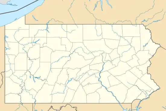
| County | Chester |
| Township | East Coventry |
| Elevation | 121 ft (37 m) |
| Time zone | UTC-5 (Eastern (EST)) |
| • Summer (DST) | UTC-4 (EDT) |
| ZIP code | 19475 |
| Area code(s) | 610 and 484 |
| GNIS feature ID | 1183314[1] |
Parker Ford is an unincorporated community in East Coventry Township, Chester County, Pennsylvania, United States. Maps show it at the intersection of Pennsylvania Route 724 and Bethel Church Road/Linfield Road. Linfield Road crosses the Schuylkill River to Linfield, an unincorporated village in Limerick Township, Montgomery County.[2]
References
- ↑ "Parker Ford". Geographic Names Information System. United States Geological Survey, United States Department of the Interior.
- ↑ "Parker Ford Maps, Facts & Features". PA HomeTownLocator. HTL, Inc. October 22, 2010. Retrieved October 22, 2010.
Parker Ford is a community or populated place (Class Code U6) located in Chester County at latitude 40.2 and longitude -75.584 (Parker Ford Panoramio Photos). The mean elevation is 125 feet.

This article is issued from Wikipedia. The text is licensed under Creative Commons - Attribution - Sharealike. Additional terms may apply for the media files.