Paruima Airport | |||||||||||
|---|---|---|---|---|---|---|---|---|---|---|---|
| Summary | |||||||||||
| Serves | Paruima | ||||||||||
| Elevation AMSL | 1,765 ft / 538 m | ||||||||||
| Coordinates | 5°49′00″N 61°03′20″W / 5.81667°N 61.05556°W | ||||||||||
| Map | |||||||||||
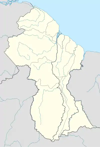 PRR Location in Guyana | |||||||||||
| Runways | |||||||||||
| |||||||||||
Paruima Airport (IATA: PRR, ICAO: SYPR) is an airport serving the community of Paruima in the Cuyuni-Mazaruni Region of Guyana.
See also
References
- ↑ Google Maps - Paruima
- ↑ Airport information for PRR at Great Circle Mapper.
External links
- Paruima Airport
- OpenStreetMap - Paruima
- OurAirports - Paruima
- HERE/Nokia - Paruima
- SkyVector Aeronautical Charts
This article is issued from Wikipedia. The text is licensed under Creative Commons - Attribution - Sharealike. Additional terms may apply for the media files.