Patilpada | |
|---|---|
village | |
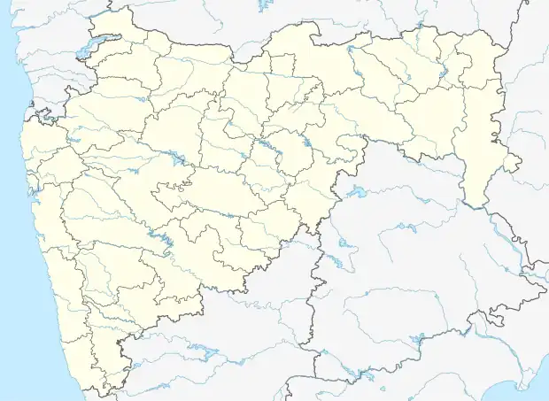 Patilpada Location in Maharashtra, India  Patilpada Patilpada (India) | |
| Coordinates: 20°05′42″N 72°49′28″E / 20.09511049°N 72.82454967°E | |
| Country | India |
| State | Maharashtra |
| District | Palghar |
| Taluka | Talasari |
| Elevation | 126 m (413 ft) |
| Population (2011) | |
| • Total | 1,240 |
| Time zone | UTC+5:30 (IST) |
| 2011 census code | 551561 |
Patilpada is a village in the Palghar district of Maharashtra, India. It is located in the Talasari taluka.[1]
Demographics
According to the 2011 census of India, Patilpada has 242 households. The effective literacy rate (i.e. the literacy rate of population excluding children aged 6 and below) is 59.2%.[2]
| Total | Male | Female | |
|---|---|---|---|
| Population | 1240 | 562 | 678 |
| Children aged below 6 years | 213 | 89 | 124 |
| Scheduled caste | 11 | 5 | 6 |
| Scheduled tribe | 1187 | 535 | 652 |
| Literates | 608 | 347 | 261 |
| Workers (all) | 544 | 296 | 248 |
| Main workers (total) | 408 | 274 | 134 |
| Main workers: Cultivators | 232 | 144 | 88 |
| Main workers: Agricultural labourers | 11 | 6 | 5 |
| Main workers: Household industry workers | 10 | 8 | 2 |
| Main workers: Other | 155 | 116 | 39 |
| Marginal workers (total) | 136 | 22 | 114 |
| Marginal workers: Cultivators | 53 | 8 | 45 |
| Marginal workers: Agricultural labourers | 66 | 10 | 56 |
| Marginal workers: Household industry workers | 3 | 0 | 3 |
| Marginal workers: Others | 14 | 4 | 10 |
| Non-workers | 696 | 266 | 430 |
References
- ↑ "Maharashtra villages" (PDF). Land Records Information Systems Division, NIC. Archived from the original (PDF) on 4 March 2016. Retrieved 17 August 2015.
- 1 2 "District census data". 2011 Census of India. Directorate of Census Operations. Retrieved 17 August 2015.
This article is issued from Wikipedia. The text is licensed under Creative Commons - Attribution - Sharealike. Additional terms may apply for the media files.