| Pauhunri | |
|---|---|
 Pauhunri Location on China-India border | |
| Highest point | |
| Elevation | 7,128 m (23,386 ft)[1] |
| Prominence | 2,035 m (6,677 ft)[1] |
| Listing | Ultra |
| Coordinates | 27°57′12″N 88°50′33″E / 27.95333°N 88.84250°E[2] |
| Geography | |
| Location | Sikkim, India |
| Parent range | Himalayas |
| Climbing | |
| First ascent | 1911 by Alec Kellas |
| Easiest route | snow/ice/rock climb |
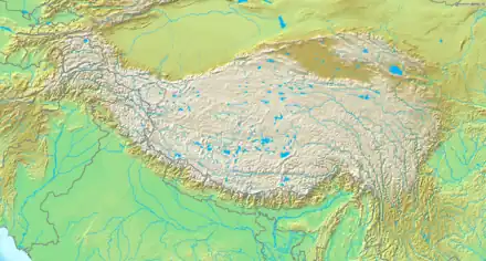
Pauhunri is a mountain in the Eastern Himalayas. It is located on the border of Sikkim, India and Tibet and is situated about 75 km northeast of Kangchenjunga. It marks the origin of Teesta river.
First ascent
Pauhunri has an elevation of 7,128 metres (23,386 ft) and was first climbed in 1911 by Scottish mountaineer, Alexander Mitchell Kellas, along with two Sherpas known only as "Sony" and "Tuny’s brother". Unknown at the time, it was revealed 80 years later that this climb made Pauhunri the highest climbed summit on Earth from 1911 to 1930.[3]
See also
References
- 1 2 "Pauhunri, China/India". Peakbagger.com. Retrieved 24 November 2011.
- ↑ "High Asia II: Himalaya of Nepal, Bhutan, Sikkim and adjoining region of Tibet". Peaklist.org. Retrieved 30 May 2014.
- ↑ "Scottish climber revealed to be altitude record-breaker – 80 years on" Archived 2014-05-24 at the Wayback Machine CaledonianMercury.com. Retrieved 2011-11-24.
This article is issued from Wikipedia. The text is licensed under Creative Commons - Attribution - Sharealike. Additional terms may apply for the media files.