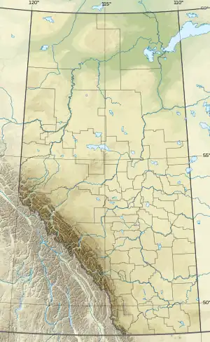
| Payne Lake | |
|---|---|
 Payne Lake | |
| Location | Cardston County, Alberta |
| Coordinates | 49°06′39″N 113°39′13″W / 49.11083°N 113.65361°W |
| Basin countries | Canada |
| Max. length | 2.2 km (1.4 mi) |
| Max. width | 3.1 km (1.9 mi) |
| Surface area | 2.28 km2 (0.88 sq mi) |
| Average depth | 3.8 m (12 ft) |
| Max. depth | 7.3 m (24 ft) |
| Surface elevation | 1,343 m (4,406 ft) |
| References | [1] |
References
- ↑ "Payne Lake". Atlas of Alberta Lakes. University of Alberta. Archived from the original on 21 June 2015.
External links
This article is issued from Wikipedia. The text is licensed under Creative Commons - Attribution - Sharealike. Additional terms may apply for the media files.
