| Peñas Azules | |
|---|---|
 Peñas Azules Argentina | |
| Highest point | |
| Elevation | 5,970 m (19,590 ft) |
| Prominence | 783[1] m (2,569 ft) |
| Parent peak | Monte Pissis |
| Coordinates | 27°59′28.67″S 068°39′08.64″W / 27.9912972°S 68.6524000°W |
| Geography | |
| Parent range | Argentine Andes, Andes |
| Climbing | |
| First ascent | 03/11/1955 - Vicente Cichitti, Jorge Guajardo, Hermann Klark (Argentina)[2][3] |
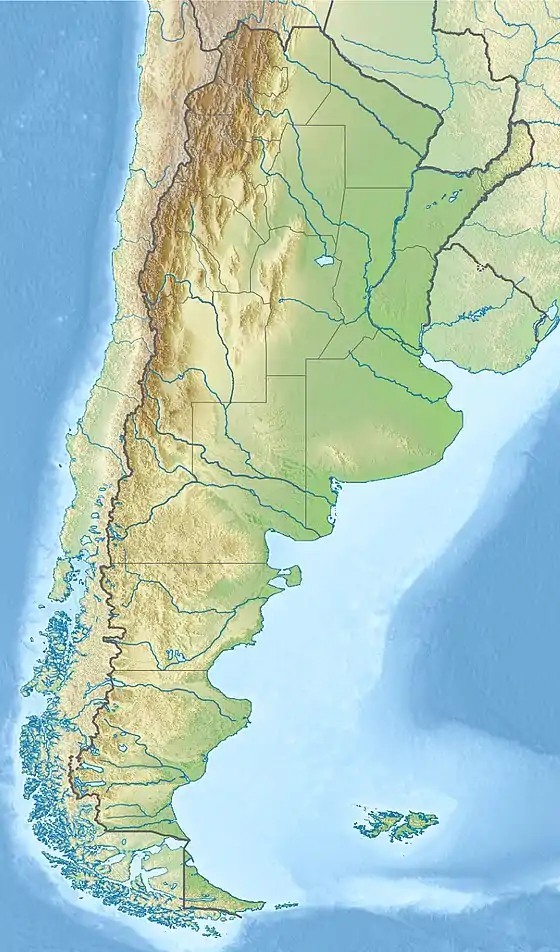
Cerro Peñas Azules is a peak in Argentina with an elevation of 5,970 metres (19,587 ft) metres.[4] Peñas Azules is within the following mountain ranges: Argentine Andes and Puna de Atacama. It is located within the territory of the Argentinean province of La Rioja. Its slopes are within the administrative boundaries of the Argentinean city of Vinchina.[5]
First Ascent
Peñas Azules was first climbed by Vicente Cichitti, Jorge Guajardo and Hermann Klark (Argentina) March 11th 1955.[6][7]
Elevation
Data from available digital elevation model ASTER yields 5947 metres.[8] The height of the nearest key col is 5187 meters, leading to a topographic prominence of 783 meters.[9] Peñas Azules is considered a Mountain Subgroup according to the Dominance System [10] and its dominance is 13.12%. Its parent peak is Pissis and the Topographic isolation is 30 kilometers.[9]
References
- ↑ "Peñas Azules". Andes Specialists. Retrieved 2020-04-12.
- ↑ J. González. Historia del Montañismo Argentino.
- ↑ "Revista La Montaña Nro 14". Revista La Montaña Nro 14: 64. Dec 1970.
- ↑ "Capas SIG | Instituto Geográfico Nacional". www.ign.gob.ar. Retrieved 2020-04-30.
- ↑ "Capas SIG | Instituto Geográfico Nacional". www.ign.gob.ar. Retrieved 2020-04-30.
- ↑ J. González. Historia del Montañismo Argentino.
- ↑ "Revista La Montaña Nro 14". Revista La Montaña Nro 14: 64. Dec 1970.
- ↑ "MADAS(METI AIST Data Archive System)". Retrieved 2020-04-14.
- 1 2 "Peñas Azules". Andes Specialists. Retrieved 2020-04-12.
- ↑ "Dominance - Page 2". www.8000ers.com. Retrieved 2020-04-12.