Pea Ridge, Arkansas | |
|---|---|
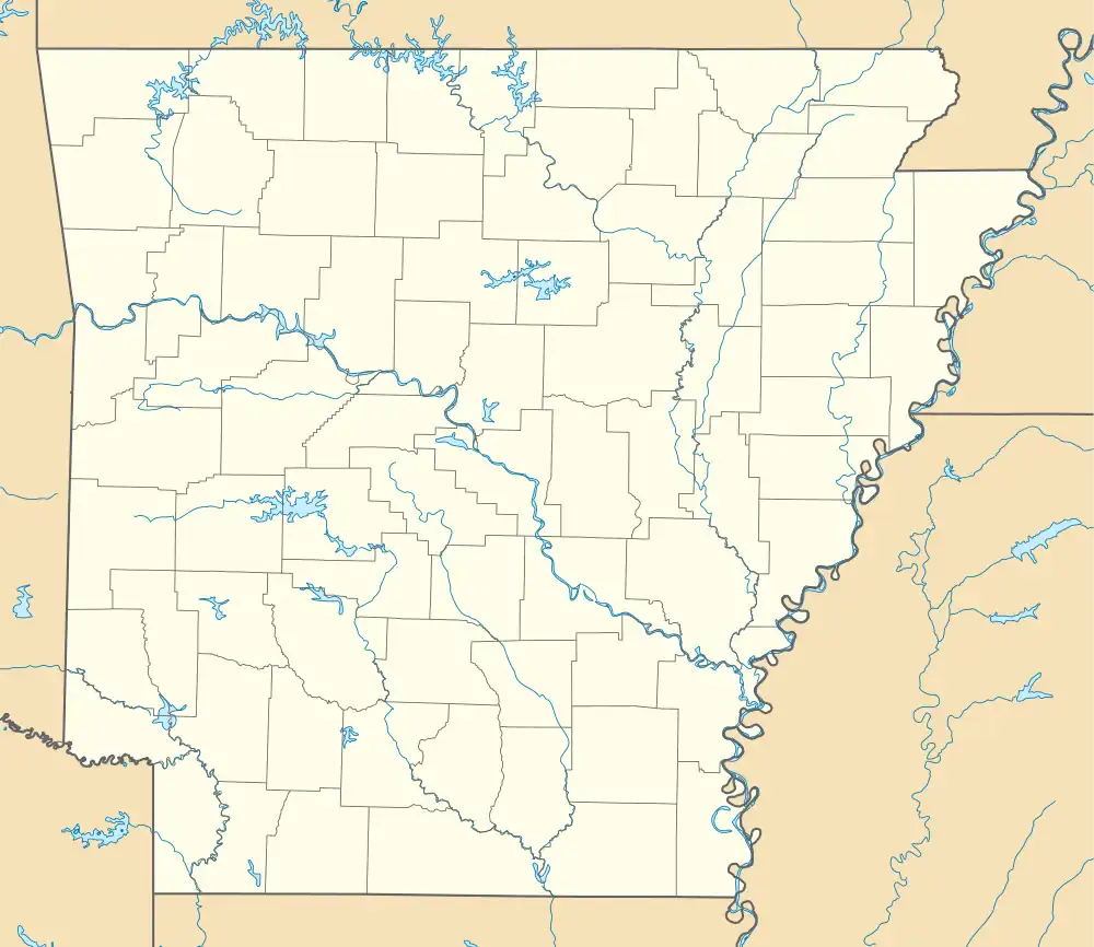 Pea Ridge Location in Arkansas | |
| Coordinates: 33°55′14″N 91°20′12″W / 33.92056°N 91.33667°W | |
| Country | |
| State | |
| County | Desha |
| Township | Red Fork |
| Elevation | 47 m (154 ft) |
| Time zone | UTC-6 (Central (CST)) |
| • Summer (DST) | UTC-5 (CDT) |
| GNIS feature ID | 53239 |
| U.S. Geological Survey Geographic Names Information System: Pea Ridge, Desha County, Arkansas | |
Pea Ridge is an unincorporated community in Desha County, Arkansas, United States.[1] The community is located at the corner of Arkansas Highway 1 and Arkansas Highway 277.[2]
References
- ↑ "Feature Detail Report for: Pea Ridge, Arkansas." USGS. U.S. Geological Survey Geographic Names Information System: Pea Ridge, Desha County, Arkansas Retrieved January 20, 2011.
- ↑ Arkansas Atlas and Gazetteer (Map) (Second ed.). DeLorme. § 59.
Municipalities and communities of Desha County, Arkansas, United States | ||
|---|---|---|
| Cities | 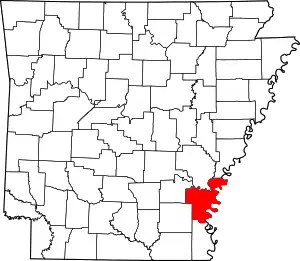 Map of Arkansas highlighting Desha County | |
| Towns | ||
| CDP | ||
| Other unincorporated communities | ||
| Ghost town | ||
| Footnotes | ‡This populated place also has portions in an adjacent county or counties | |
This article is issued from Wikipedia. The text is licensed under Creative Commons - Attribution - Sharealike. Additional terms may apply for the media files.