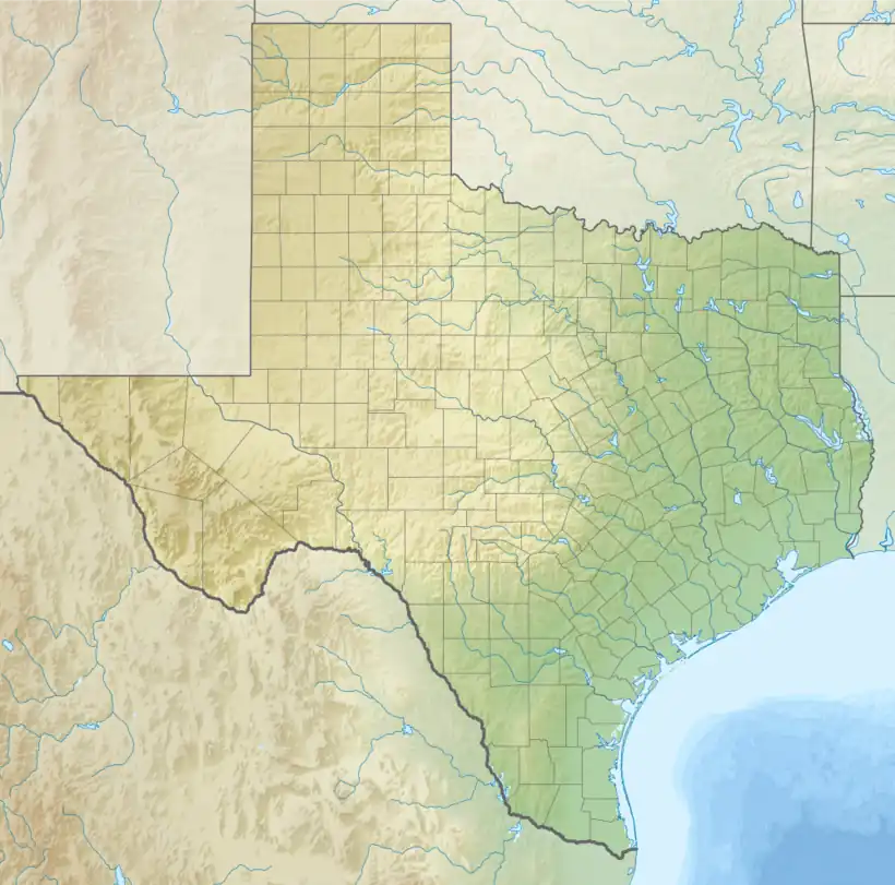
29°31′17″N 095°14′32″W / 29.52139°N 95.24222°W
Pearland Regional Airport | |||||||||||
|---|---|---|---|---|---|---|---|---|---|---|---|
| Summary | |||||||||||
| Airport type | Privately owned, public use | ||||||||||
| Owner | Clover Acquisition Corp. | ||||||||||
| Operator | Texas Aviation Partners, LLC. | ||||||||||
| Serves | Houston, Texas | ||||||||||
| Location | Pearland, Texas | ||||||||||
| Elevation AMSL | 44 ft / 13 m | ||||||||||
| Website | www.flypearland.com | ||||||||||
| Map | |||||||||||
 LVJ  LVJ | |||||||||||
| Runways | |||||||||||
| |||||||||||
| Statistics (2000) | |||||||||||
| |||||||||||
Pearland Regional Airport (ICAO: KLVJ, FAA LID: LVJ) is in Brazoria County, Texas, near Pearland in Greater Houston, 17 miles (27 km) south of Downtown Houston. It was formerly Clover Field.[2]
Most U.S. airports use the same three-letter location identifier for the FAA and IATA, but Pearland Regional Airport is LVJ to the FAA and has no IATA code.[3]
It was in the Pearland city limits from November 27, 2017, until March 26, 2018.
Facilities
The airport covers 450 acres (180 ha); its single runway, 14/32, is 4,313 x 75 ft (1315 x 23 m) concrete. In the year ending May 30, 2000 the airport had 87,125 aircraft operations, average 238 per day: 99.7% general aviation and 0.3% air taxi. 175 aircraft were then based at the airport: 94% single-engine, 2% multi-engine and 4% helicopter.[1]
History
The airport opened in 1950 and is owned by Clover Acquisition Corporation.[4]
In April 2010 a small single-engine plane took off from Pearland Regional Airport and crashed shortly thereafter in Friendswood, about a mile south of the airport. The pilot was killed.[5]
The land with the airport, "Area L", is an unincorporated area;[6] it was annexed by the City of Pearland on November 27, 2017.[7] However, in March 2018 the Pearland city council voted to deannex the territory.[8] It was de-annexed effective March 26, 2018.[7]
See also
References
- 1 2 FAA Airport Form 5010 for LVJ PDF, effective 2007-12-20
- ↑ PBS&J - Making an Impact: Pearland Regional Airport Benefits Aviators/Local Economy
- ↑ Great Circle Mapper: KLVJ - Pearland, Texas (Pearland Regional Airport)
- ↑ Paschenko, Chris. "Small plane crashes into Friendswood neighborhood; one killed". KHOU. Retrieved December 15, 2013.
- ↑ "Annexations". City of Pearland. Retrieved 2018-06-26.
The City's 2017 annexation procedures are complete, and 3 of the 5 areas originally proposed for incorporation are now a part of the Pearland City limits. Annexation of Areas A, C and L were approved by the Pearland City Council,[...]
See: Map, Land Use, Survey Map. - 1 2 "Annexation Update - 2017 ANNEXATIONS REPEALED – AREAS A, C AND L". City of Pearland. Retrieved 2018-06-26.
- ↑ "Pearland will de-annex all three 2017 additions, possibly revoke fire service". Community Impact. 2018-03-26. Retrieved 2018-06-26.
External links
- Resources for this airport:
- FAA airport information for LVJ
- AirNav airport information for KLVJ
- FlightAware airport information and live flight tracker
- NOAA/NWS weather observations: current, past three days
- SkyVector aeronautical chart, Terminal Procedures