Phamtam | |
|---|---|
Village | |
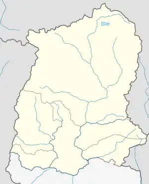
 Phamtam Location in Sikkim, India  Phamtam Phamtam (India) | |
| Coordinates: 27°27′04″N 88°36′39″E / 27.4511°N 88.6108°E | |
| Country | |
| State | Sikkim |
| District | North Sikkim |
| Subdivision | Mangan |
| Time zone | UTC+5:30 (IST) |
| ISO 3166 code | IN-SK |
Phamtam is a village in the Mangan subdivision of North Sikkim district in the north Indian state of Sikkim. The Ministry of Home Affairs has given it a geographical code of 260902.[1]
References
- ↑ "MDDS e-Governance Code (Sikkim Rural)" (PDF). Office of the Registrar General & Census Commissioner, India. 2011. Retrieved 15 October 2011.
This article is issued from Wikipedia. The text is licensed under Creative Commons - Attribution - Sharealike. Additional terms may apply for the media files.