| Pheasant Creek Tributary to Fisher River | |
|---|---|
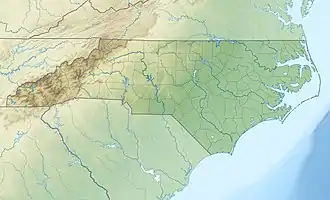 Location of Pheasant Creek mouth  Pheasant Creek (Fisher River tributary) (the United States) | |
| Location | |
| Country | United States |
| State | North Carolina |
| County | Surry |
| Physical characteristics | |
| Source | Snow Creek divide |
| • location | about 1 mile northeast of Little Richmond, North Carolina |
| • coordinates | 36°18′37″N 080°44′32″W / 36.31028°N 80.74222°W[1] |
| • elevation | 1,080 ft (330 m)[2] |
| Mouth | Fisher River |
• location | about 1 mile northeast of Crutchfield, North Carolina |
• coordinates | 36°16′51″N 080°41′54″W / 36.28083°N 80.69833°W[1] |
• elevation | 855 ft (261 m)[2] |
| Length | 3.91 mi (6.29 km)[3] |
| Basin size | 2.98 square miles (7.7 km2)[4] |
| Discharge | |
| • location | Fisher River |
| • average | 4.49 cu ft/s (0.127 m3/s) at mouth with Fisher River[4] |
| Basin features | |
| Progression | Fisher River → Yadkin River → Pee Dee River → Winyah Bay → Atlantic Ocean |
| River system | Yadkin River |
| Tributaries | |
| • left | unnamed tributaries |
| • right | unnamed tributaries |
| Bridges | Gilliam Road, Still Water Lane, US 601, Chandler Road |
Pheasant Creek is a 3.91 mi (6.29 km) long 1st order tributary to the Fisher River in Surry County, North Carolina.
Course
Pheasant Creek rises about 1 mile northeast of Little Richmond, North Carolina. Pheasant Creek then flows southeast to join the Fisher River about 1 mile northeast of Crutchfield, North Carolina.[2]
Watershed
Pheasant Creek drains 2.98 square miles (7.7 km2) of area, receives about 48.5 in/year of precipitation, has a wetness index of 375.98, and is about 45% forested.[4]
See also
References
- 1 2 "GNIS Detail - Pheasant Creek". geonames.usgs.gov. US Geological Survey. Retrieved 1 October 2020.
- 1 2 3 "Pheasant Creek Topo Map in Surry". TopoZone. Locality, LLC. Retrieved 1 October 2020.
- ↑ "ArcGIS Web Application". epa.maps.arcgis.com. US EPA. Retrieved 1 October 2020.
- 1 2 3 "Pheasant Creek Watershed Report". US EPA Geoviewer. US EPA. Retrieved 1 October 2020.
This article is issued from Wikipedia. The text is licensed under Creative Commons - Attribution - Sharealike. Additional terms may apply for the media files.