| Phillips Pass | |
|---|---|
 | |
| Elevation | 8,932 ft (2,722 m)[1] |
| Traversed by | Teton Crest Trail |
| Location | Teton County, Wyoming, US |
| Range | Teton Range, Rocky Mountains |
| Coordinates | 43°32′54″N 110°55′56″W / 43.54833°N 110.93222°W[2] |
| Topo map | USGS Rendezvous Peak, WY |
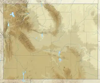
Phillips Pass is a pedestrian mountain pass located in the Teton Range in the U.S. state of Wyoming.[1] The pass is along the crest of the range and the borders between Bridger-Teton National Forest to the east and Caribou-Targhee National Forest to the west. The pass is traversed by the Teton Crest Trail and can be accessed via trails from Teton Pass to the southwest or the Phillips Canyon Trail to the east.
References
- 1 2 Rendezvous Peak, WY (Map). Topoquest (USGS Quads). Retrieved 2012-02-13.
- ↑ "Phillips Pass". Geographic Names Information System. United States Geological Survey, United States Department of the Interior. Retrieved 2012-02-13.
This article is issued from Wikipedia. The text is licensed under Creative Commons - Attribution - Sharealike. Additional terms may apply for the media files.