| Piallamore Tamworth, New South Wales | |||||||||||||||
|---|---|---|---|---|---|---|---|---|---|---|---|---|---|---|---|
 Piallamore | |||||||||||||||
| Coordinates | 31°12′S 151°05′E / 31.200°S 151.083°E | ||||||||||||||
| Population | 261 (2016 census)[1] | ||||||||||||||
| Postcode(s) | 2340 | ||||||||||||||
| Elevation | 410 m (1,345 ft) | ||||||||||||||
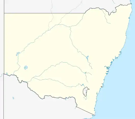
| Location |
| ||||||||||||||
| LGA(s) | Tamworth Regional Council | ||||||||||||||
| County | Parry | ||||||||||||||
| State electorate(s) | Tamworth, | ||||||||||||||
| Federal division(s) | New England | ||||||||||||||
| |||||||||||||||
Piallamore is a small outer suburb of Tamworth located about 15 km South-East of the city. It is located within the Parry County Cadastral division of New South Wales in the New England region. At the 2016 census, Piallamore had a population of 261 people.[1]
Piallamore was first settled on the gently sloping hills at the base of the Moonbi Range and spread out to the fertile Peel River flats.
Facilities/Services
- Anglican Church
- Tennis courts
- Bus service to Tamworth Primary and Secondary schools
- NSW Rural Fire Service brigade
- Public roads
Notes and references
- 1 2 Australian Bureau of Statistics (27 June 2017). "Piallamore (State Suburb)". 2016 Census QuickStats. Retrieved 5 April 2018.
This article is issued from Wikipedia. The text is licensed under Creative Commons - Attribution - Sharealike. Additional terms may apply for the media files.