| Pico do Facho | |
|---|---|
.jpg.webp) View of Pico do Facho from Vila Baleira | |
| Highest point | |
| Elevation | 517 m (1,696 ft)[1] |
| Coordinates | 33°05′03.5″N 16°19′25.3″W / 33.084306°N 16.323694°W |
| Geography | |
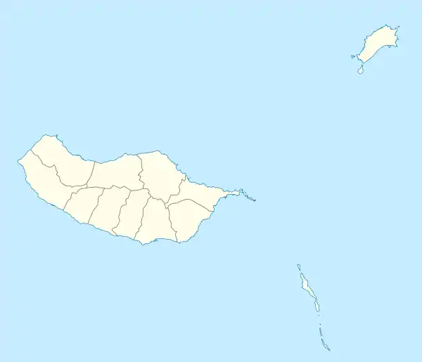
 Pico do Facho Location of Pico do Facho in Madeira | |
| Location | Porto Santo Island, Madeira, |
Pico do Facho is the highest peak on Porto Santo Island, with 517 m (1,696 ft) in altitude. Its name comes from facho, a light beam created by a bonfire, which was used to signal both the local population and Funchal of pirate ships. The bonfire could be seen from Ponta de São Lourenço on the main island of Madeira.[1][2][3][4]
There are no roads leading to the top of the peak, however there is a path from Pico do Castelo to Pico do Facho and to some nearby peaks about 1.5 - 2 hours walk.[2]
References
- 1 2 "Pico do Facho". Visite Porto Santo (in European Portuguese). 14 April 2017. Retrieved 15 May 2021.
- 1 2 "Pico do Facho". www.porto-santo.com (in European Portuguese). Retrieved 15 May 2021.
- ↑ "Porto Santo: o que ver e fazer na ilha dourada". Espreitar o Mundo (in European Portuguese). 31 July 2020. Retrieved 15 May 2021.
- ↑ Barros, Cristina. "Planeamento Estratégico de Marketing Territorial e perspectivas de desenvolvimento na Região Autónoma da Madeira". ResearchGate. Retrieved 15 May 2021.
This article is issued from Wikipedia. The text is licensed under Creative Commons - Attribution - Sharealike. Additional terms may apply for the media files.