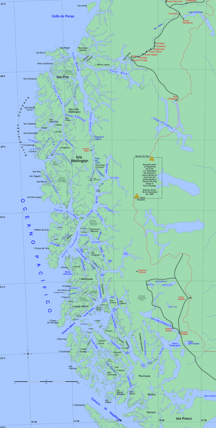
Picton Channel (Spanish: Canal Picton) is a waterway in the Magallanes Region of Chile that continues southward the Ladrillero Channel, and it runs between the Chipana Island (east) and Mornington Island (Chile) (west).
With the Ladrillero and Fallos Channel, it forms an optional route to the Messier Channel-Grappler Channel-Wide Channel. It has several arms or fjords.
The United States Hydrographic Office, South America Pilot (1916) states:[1]
- Picton Channel, with an average breadth of 11⁄2 miles, extends to the northward and westward for about 20 miles, with bold shores intersected by inlets on either side and deep water in mid-channel. Mornington Island, the western shore, then becomes low and dips gradually to the northward till it ends 36 miles from Trinidad Channel in an extensive area of rocks, islets, and disconnected breakers, with no prominent islets fit for leading marks to guide a vessel through the channels to the sea.
History
On 2 January 1916, not far from Golfo Ladrillero, the Chilean ship Casma run aground at the shore of the Picton Channel.
See also
References
- Williams, Richard S.; Ferrigno, Jane G., eds. (1998). "Past Glaciations and 'Little Ice Ages'". Glaciers of South America: Satellite Image Atlas of Glaciers of the World. U.S. Government Printing Office. pp. 198–201. ISBN 978-0-607-71454-8.
- Latorre, Guillermo (1998). "Multilingual substratum and superstratum in the toponymy of the south of Chile" [Multilingual substratum and superstratum in the toponymy of the south of Chile]. Estudios Filológicos (in Spanish) (33): 55–67. doi:10.4067/S0071-17131998003300004.
Template:Attached KML/Fjords and channels of Chile
KML is from Wikidata
This article is issued from Wikipedia. The text is licensed under Creative Commons - Attribution - Sharealike. Additional terms may apply for the media files.
