| Pine River | |
|---|---|
 Mouth of the river | |
| Location | |
| Countries | |
| Province | Ontario |
| State | Minnesota |
| Physical characteristics | |
| Source | Fortune Lake [1] |
| • coordinates | 48°11′59″N 90°23′39″W / 48.19972°N 90.39417°W |
| • elevation | 513 m (1,683 ft) |
| Mouth | Granite Lake |
• coordinates | 48°8′54″N 90°46′41″W / 48.14833°N 90.77806°W |
• elevation | 448 m (1,470 ft) |
| Basin features | |
| River system | Winnipeg River[2] |
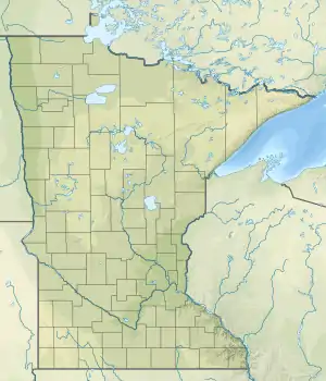
The Pine River flows along the Minnesota-Ontario border a short distance, primarily within the Boundary Waters Canoe Area Wilderness and La Verendrye Provincial Park. The river is part of the Winnipeg River drainage basin and is a tributary of the Granite River.[3]
From its source at Fortune Lake, the river first flows in a southwest direction through Prelate Lake, Addie Lake, and North Lake before reaching Gunflint Lake. From here, the river then flows north into Magnetic Lake, Clove Lake, and Granite Lake, at which point it joins the Granite River. The Granite River then continues northward along the border into Saganaga Lake.
By portaging around rapids, the Pine River is navigable by canoe.
See also
Notes and References
- ↑ "Pine River". Canadian Geographical Names Data Base. Natural Resources Canada. 2019. Retrieved August 14, 2019.
- ↑ Benke & Cushing 2005, p. 898.
- ↑ U.S. Geological Survey Geographic Names Information System: Pine River
Sources
- Benke, Arthur C.; Cushing, Colbert E. (2005). Rivers of North America. New York: Elsevier. ISBN 978-0-12-088253-3.
This article is issued from Wikipedia. The text is licensed under Creative Commons - Attribution - Sharealike. Additional terms may apply for the media files.