Pipri Buzurg | |
|---|---|
Village | |
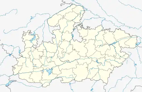 Pipri Buzurg Location in Madhya Pradesh, India | |
| Coordinates: 21°56′N 75°08′E / 21.93°N 75.13°E | |
| Country | |
| State | Madhya Pradesh |
| District | Barwani |
| Tehsil | Rajpur |
| Government | |
| • Type | Gram Panchayat |
| • Body | Bala Bachchan (MLA) Chetan Agrawal |
| Elevation | 225 m (738 ft) |
| Population (2011) | |
| • Total | 1,838(955-male) (881-female) |
| Languages | |
| • Official | Hindi |
| Time zone | UTC+5:30 (IST) |
| PIN | 451449 |
| Telephone code | 07284 |
| ISO 3166 code | IN-MP |
| Vehicle registration | MP46 |
Pipri Buzurg is a village and a Gram Panchayat in Barwani district in the Indian state of Madhya Pradesh.
Geography
Pipri Buzurg is located at 21°56′N 75°08′E / 21.93°N 75.13°E.[1] It has an average elevation of 225 metres (738 feet). The total area of village is 920.98 hectares.
Demographics
As of 2001 India census,[2] Rajpur had a population of 17,913. Males constitute 51% of the population and females 49%. Rajpur has an average literacy rate of 59%, lower than the national average of 59.5%: male literacy is 68%, and female literacy is 49%. In Raj.pur, 17% of the population is under 6 years of age.
References
- ↑ alling Rain Genomics, Inc - Rajpur
- ↑ "Census of India 2001: Data from the 2001 Census, including cities, villages and towns (Provisional)". Census Commission of India. Archived from the original on 16 June 2004. Retrieved 1 November 2008.
This article is issued from Wikipedia. The text is licensed under Creative Commons - Attribution - Sharealike. Additional terms may apply for the media files.