Pitões das Júnias | |
|---|---|
.jpg.webp) Pitoes das Junias | |
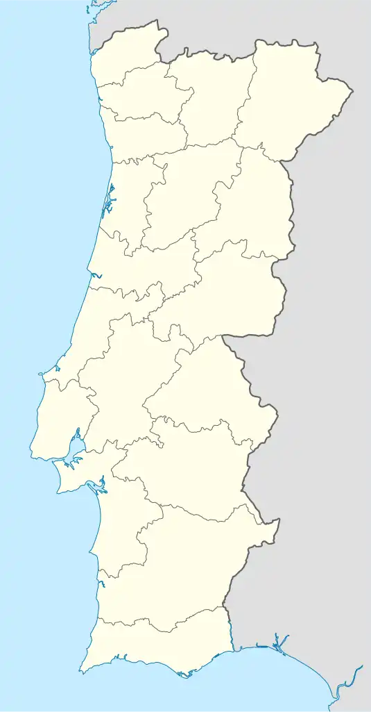
 Pitões das Júnias Location in Portugal | |
| Coordinates: 41°50′28″N 7°57′00″W / 41.841°N 7.950°W | |
| Country | |
| Region | Norte |
| Intermunic. comm. | Alto Tâmega |
| District | Vila Real |
| Municipality | Montalegre |
| Area | |
| • Total | 36.89 km2 (14.24 sq mi) |
| Elevation | 1,200 m (3,900 ft) |
| Population (2011) | |
| • Total | 161 |
| • Density | 4.4/km2 (11/sq mi) |
| Time zone | UTC±00:00 (WET) |
| • Summer (DST) | UTC+01:00 (WEST) |
| Postal code | 5470 |
| Patron | Nossa Senhora das Júnias |
| Website | http://pitoesdasjunias.com/ |
Pitões das Júnias is a Portuguese freguesia ("civil parish"), located in the municipality of Montalegre in the district of Vila Real. The population in 2011 was 161,[1] in an area of 36.89 km2.[2]
At around 1200 meters of elevation, it is one of the highest parishes in Portugal.

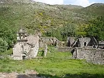
Monastery of Santa Maria das Júnias
Description
The parish is located within the Peneda-Gerês National Park. Its history is interconnected with the Monastery of Santa Maria das Júnias, a Portuguese national monument composed of a monastery and its annexed temple, which were built during the first half of the 12th century.[3]
Pitões das Júnias has become one of the most visited villages of Montalegre, mostly due to its fauna and flora, landscapes, walking trails, smoked meats and well-preserved traditions.
References
- ↑ Instituto Nacional de Estatística
- ↑ Direção-Geral do Território (2022). "Carta Administrativa Oficial de Portugal" (in Portuguese). Portugal. Retrieved 17 September 2022.
- ↑ "Mosteiro de Santa Maria das Júnias". Visit Portugal. Archived from the original on 17 September 2022. Retrieved 17 September 2022.
This article is issued from Wikipedia. The text is licensed under Creative Commons - Attribution - Sharealike. Additional terms may apply for the media files.